
What is recorded here
Not visible at ground level. According to local information site was used as a burial ground. Depicted on first edition OS 6-inch map as 'Caltragh Burying Ground'. Recent burial uncovered during the construction of an extension to the nearby Carrowkeel House (pers. comm. Heather King 2007), burial ground may have extended into adjoining field containing Carrwokeel House. Described in the OS Field Name Books of 1837-40 as 'Cealltrach, an unconsecrated burial ground. In the N.E. side of the td. of Glebe. It is about 70 links square' (OSFNB 1837-40, Vol. 1, 34).
The above description is derived from the published 'Archaeological Inventory of County Offaly' (Dublin: Stationery Office, 1997). In certain instances the entries have been revised and updated in the light of recent research.
Compiled by Caimin O'Brien
Date of upload: 28 January 2010
The monument record does not grant public access. Check the route and ask the landowner before entering private land.
- What survives
- Recorded monument
Places near here
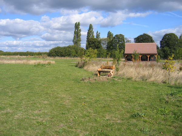 Burial ground in Glebe (garrycastle By., Clonmacnoise Ed)Burial ground · 282 yd
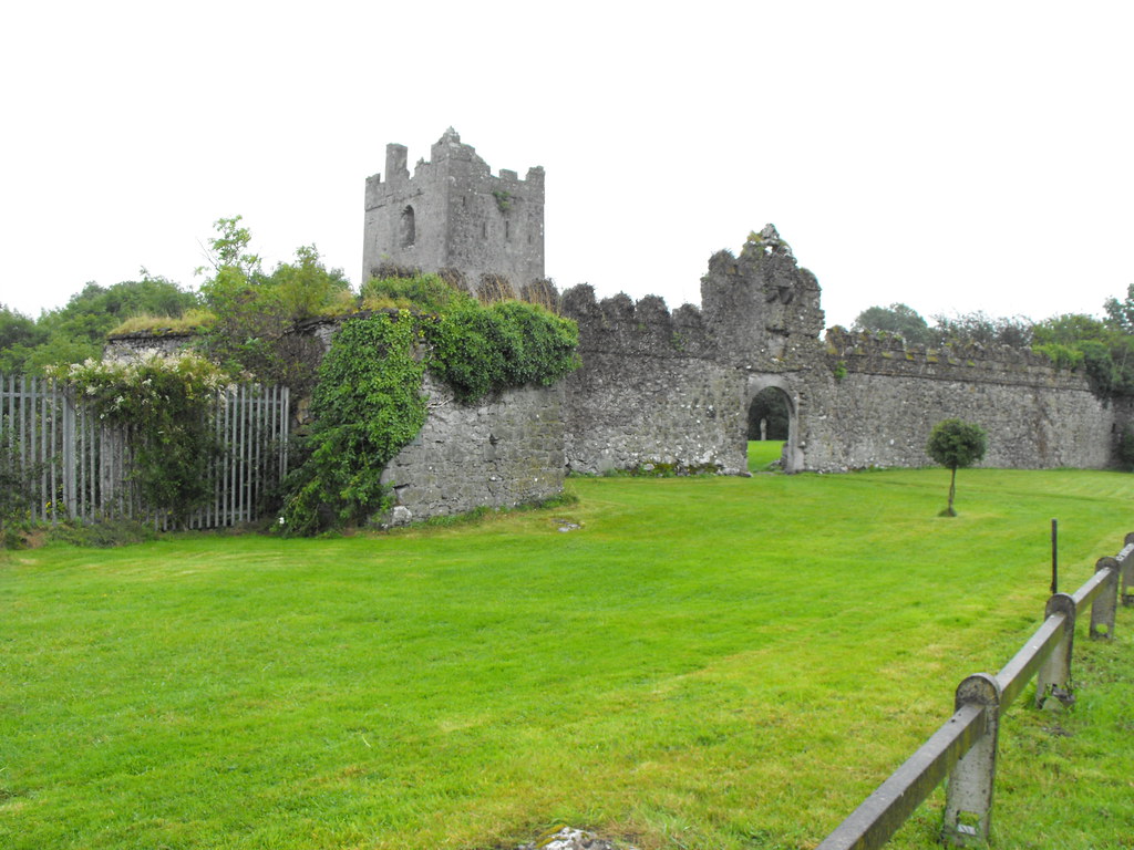 Hut site in ClonfinloughHut site · 586 yd
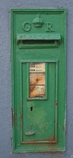 post boxpost box · 964 yd
 RoadRoad, gravel/stone trackway, peatland · 1.7 mi
 Clonlyon CastleCastle, tower house · 2.4 mi
 ClonmacnoiseMuseum · 2.7 mi
 Graveyard in ClonmacnoiseGraveyard · 2.7 mi
 Castle or Bishops PalaceCastle, Anglo-Norman masonry castle · 2.8 mi
 HawthornHawthorn · 3.0 mi
 Endrim HillMountain / peak · 3.1 mi
 Long IslandIsland · 3.9 mi
 European ashEuropean ash · 4.1 mi
Other information
Photo: Credit not shown in the picture search · Rights wording not checked; contact us if this picture should be removed