What is recorded here
On a gentle SE-facing slope. According to Price (1958, 375), ‘On a farm here there is an arrangement of low grass banks forming a maze, which is locally called ‘the walls of Troy’. The maze appears to have been a sod or turf maze (Manning 2004, 166-8). A sketch by Healy c. 1957 (ibid.) shows it as a rectangular labyrinth (dims. 24.4m x 26.4m). The monument was levelled in 1990 and is not visible above ground.
Compiled by: Jean Farrelly
Date of upload: 05 October 2012
The monument record does not grant public access. Check the route and ask the landowner before entering private land.
- What survives
- Recorded monument
Places near here
 Enclosure in BallynavorthaEnclosure · 809 yd
 IndicatedFairy fort / earthen ringfort · 1357 yd
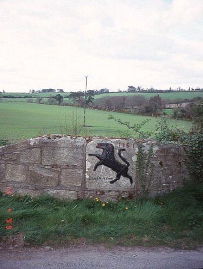 monumentmonument · 1.3 mi
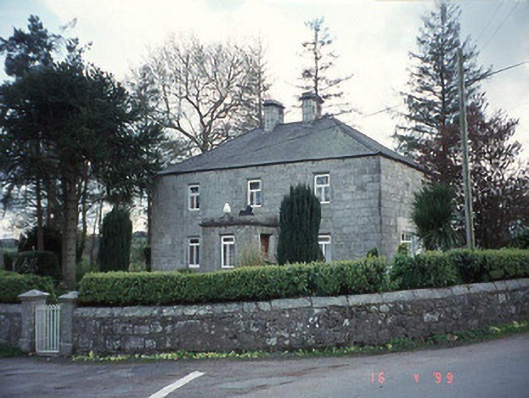 Blacklion Constabulary BarrackRIC barracks · 1.3 mi
 SycamoreSycamore · 1.5 mi
 European BeechEuropean Beech · 1.5 mi
 Clonogan Castle (site of)Castle, unclassified · 2.8 mi
 Altamont House and GardensHeritage attraction · 3.3 mi
 CastleCastle, motte and bailey · 3.3 mi
 Altamont Gardens MapVisitor information · 3.4 mi
 Huntington Castle & GardensHeritage attraction · 3.8 mi
 Ballynultagh HillMountain / peak · 4.8 mi