What is recorded here
Maud and I walked the edge of Ballyknockan at dusk, when the tree circle stopped being a map idea and became a living boundary. Rathvinden House may have shaped that place into a room without walls, inviting people to walk inside its green design rather than merely pass it. We stood within the circle until darkness came, listening for the kind of intention that still moves through land made beautiful on purpose.
Represented on the OS 6-inch map (surveyed 1839) as a circular area filled with trees delimited by a pecked line. Probably relates to the demesne landscape management surrounding Rathvinden House.
Compiled by: Claire Breen
Date of upload: 19 August 2011
The monument record does not grant public access. Check the route and ask the landowner before entering private land.
- What survives
- Recorded monument
Places near here
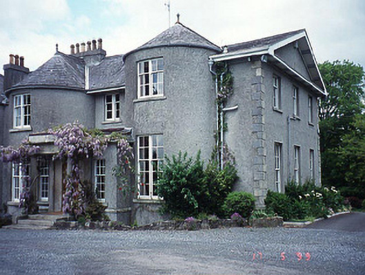 Rathvinden Househouse · 218 yd
 Enclosure in Ballyknockan (idrone West By.)Enclosure · 230 yd
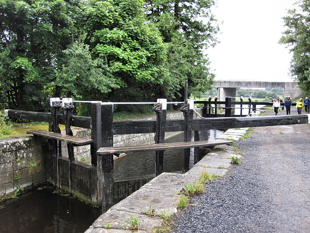 Rathvinden Locklock · 528 yd
 Black Castle (in ruins)Castle, tower house · 638 yd
 Abbey (Site of)Religious house, Carmelite friars · 673 yd
 Church, GraveyardChurch · 1089 yd
 Common LimeCommon Lime · 1.6 mi
 Graveyard in Tomard Lower (3 Detached Portions)Graveyard · 1.9 mi
 Dunleckny Ho.Castle, unclassified · 2.5 mi
 Sweet ChestnutSweet Chestnut · 2.5 mi
 Lock Keeper's House and Lodge MillsVisitor information · 2.6 mi
 The Columban WayVisitor information · 2.8 mi