What is recorded here
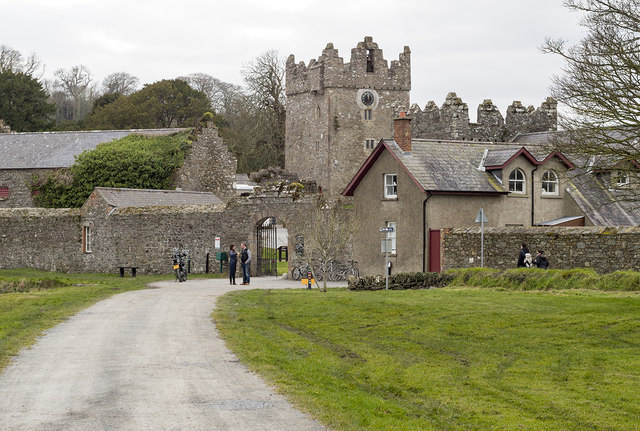
Castle Ward in County Down, Ireland, is a scheduled eighteenth-century designed landscape where human hands shaped the land into a visible work of art. The official record treats the site as one continuous architectural act rather than a collection of separate buildings. That distinction matters because the ground itself became the canvas, inviting people to walk inside a composed idea instead of merely observing a house.
The official Northern Ireland record identifies this as DESIGNED LANDSCAPE: CASTLE WARD. Recorded period: C18TH. Recorded protection: Scheduled. The official map point was placed at the centre of the recorded archaeological site from the source map reference.
Castle Ward was built in the 18th century by the Stewart family, who were prominent in the area. It is important as a fine example of an 18th-century designed landscape and remains a scheduled ancient monument in Northern Ireland.
The monument record does not grant public access. Check the route and ask the landowner before entering private land.
- What survives
- Recorded monument
Places near here
 TOWER-HOUSE: OLD CASTLE WARD in CastlewardTOWER-HOUSE: OLD CASTLE WARD · 291 yd
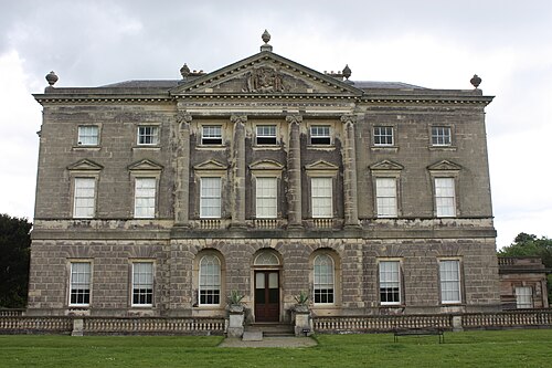 Castle WardCastle · 291 yd
 North LodgeGates/ Screens/ Lodges · 417 yd
 Boat HouseBoat House · 428 yd
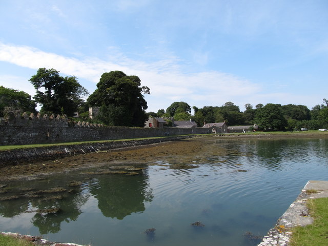 STONE QUAY in CastlewardSTONE QUAY · 448 yd
 QUAY in CastlewardQUAY · 603 yd
 TOWER-HOUSE AND BAWN: AUDLEY'S CASTLE in CastlewardTOWER-HOUSE AND BAWN: AUDLEY'S CASTLE · 763 yd
 Audley's CastleHeritage attraction · 777 yd
 Audleystown WoodWood · 802 yd
 Cranes' CornerHeadland · 1236 yd
 Castle Ward ForestForest · 1298 yd
 Chapel IslandIslet · 1.0 mi
Other information
Photo: Rossographer · CC BY-SA 2.0