
What is recorded here
From OpenStreetMap (© OpenStreetMap contributors) n3265398107
Places near here
Photo credits
- Maker not stated on source page, www.youtube.com
- Budisgood, Wikimedia Commons
- Maker not stated on source page, setonshrine.org
- Maker not stated on source page, www.pinterest.com
- Maker not stated on source page, www.dreamstime.com
- Maker not stated on source page, en.wikipedia.org
- Maker not stated on source page, in.pinterest.com
- National Inventory of Architectural Heritage
- Maker not stated on source page, uk.pinterest.com
- Golfing in Ireland; photographer not stated, Source publisher
 Acragar GraveyardGraveyard · 1723 yd
Explorer Tom Acragar Graveyard has this vibe where a certain priest lost a bet and had to bury his hat in the ground forever, which…
 Mountmellick GAAGAA ground · 1.5 mi
Explorer Tom Mountmellick’s Páirc Acragar looks ready to host the kind of sideline debate that lasts longer than the match. I went…
 Saint Joseph's CemeteryCemetery · 1.5 mi
Explorer Tom Saint Joseph's Cemetery has a ghost that’s too lazy to haunt anyone properly, so he just naps in the corner. He’s…
 CastleCastle, unclassified · 1.5 mi
Explorer Tom Castle in Rathnamanagh was nearly sold for a horse, which honestly fits the vibe perfectly. It’s a fortified house that…
 Straboe Church (in Ruins)Church · 1.7 mi
Explorer Tom Straboe Church has been rebuilt so much it’s basically a new church wearing an old hat. The Kemmis family turned it…
 Enclosure in RathnamanaghEnclosure · 1.9 mi
Explorer Tom Enclosure in Rathnamanagh gave up its walls for Lent, probably to buy some better shoes. It looks like a smudge that…
 Redhill WoodWood · 1.9 mi
Explorer Tom Redhill Wood in County Laois brags about surviving a storm in 1920 that actually only lasted for ten minutes. It tells…
 Derrycoogh WoodWood · 2.0 mi
Explorer Tom Derrycoogh Wood in County Laois swears by an old superstition that says if you whistle backwards three times, it will…
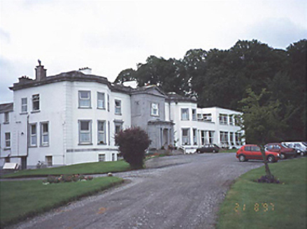 Saint Brigid's HospitalCountry house · 2.0 mi
Explorer Tom Saint Brigid's Hospital in Shaen used to be a posh country house before becoming a hospital. It probably wants to go…
 Clonreher Castle (in Ruins)Castle, tower house · 2.4 mi
Explorer Tom Clonreher Castle thinks Dublin tourists are all about selfies and not very good at spelling 'Laois,' so it keeps its…
 Fairy fort / ringfort in Pallas Big,pallas LittleFairy fort / ringfort · 3.4 mi
Explorer Tom Fairy fort / ringfort in Pallas Big, Pallas Little has strong opinions from the local sheep who believe they are the…
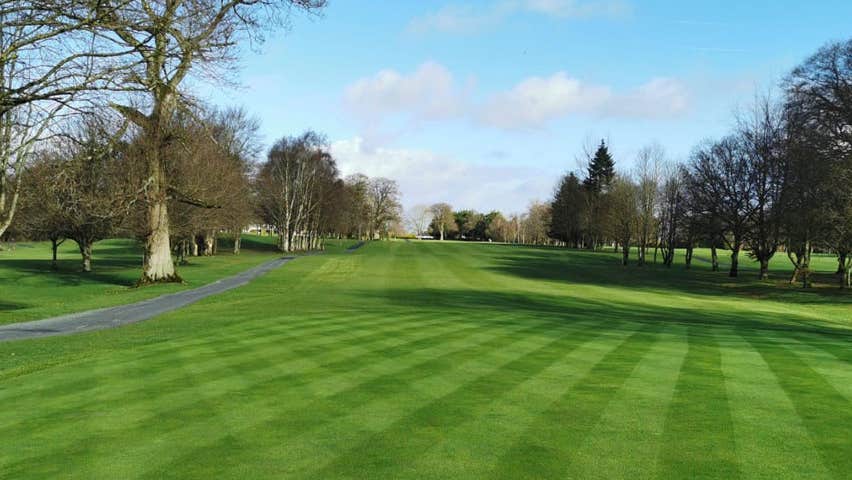 Portarlington Golf ClubGolf course · 4.2 mi
More mountains and hills in County Laois · All of County Laois

What do you know about this place?Tap to add a comment or ask a question