What is recorded here
Dernalear stands as a ring fort in County Tyrone, its earthworks marking a boundary between human ambition and ancient land. The site suggests people once shaped soil into defensible form, perhaps watching roads or claiming territory under changing skies. Whatever life filled that circle has faded, leaving only the shape of their intent embedded in the terrain.
Dernalear (Ring Fort) is recorded as a fort in County Tyrone. Its open map record supplies this location and any linked names or public references.
Places near here
 ENCLOSURE: DERNALEAR in TullymuckENCLOSURE: DERNALEAR · 18 yd
 A.P. SITEA.P. SITE, double-ditched enclosure · 960 yd
 Ring FortFort · 1.4 mi
 St. Mary's RC ChurchChurch · 2.2 mi
 Dudgeon BridgeBridge · 2.4 mi
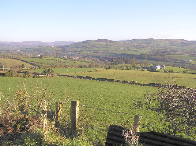 Bessy BellMountain / peak · 3.1 mi
 PLANTATION CASTLE: CASTLE CURLEWS in KirlishPLANTATION CASTLE: CASTLE CURLEWS · 3.4 mi
 School WoodForest · 3.7 mi
 MullaghcroyMountain / peak · 3.8 mi
 Taylor's BeltForest · 3.8 mi
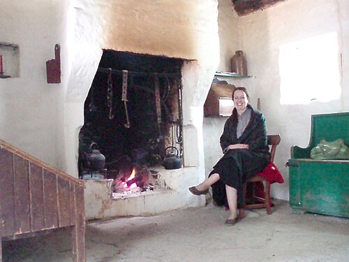 Ulster American Folk ParkMuseum · 3.9 mi
 CHURCH; GRAVEYARD; CARVED STONE: HOLYWELL CHURCH in LackaghCHURCH; GRAVEYARD; CARVED STONE: HOLYWELL CHURCH · 4.1 mi