What is recorded here
On the summit of Shrough Hill, part of the Slievenamuck/Moanour mountains, with forestry encroaching to within 10m to N, E and W, forestry to W has been felled affording an extensive view of the Galty mountains and foothills below. A cairn, possibly a passage tomb (LI058-001----), is visible on Temple Hill c. 9km to the SSE, at the W end of the Galtys. A stone wall runs E-W along the S edge of the mound. The monument consists of a roughly circular cairn (diam. 30m; H 2m) with a small, roofless polyogonal chamber (int. dims. L 2.2m; Wth 1.2m), aligned roughly E-W, near the centre of the cairn (De Valera and Ó Nualláin 1982, 101; Ó Nualláin and Cody 1987, 76-8). The sidestones vary in height from 1.2m to 1.8m (ibid. 76). The cairn is overgrown with gorse, heather and low scrub.
Compiled by: Jean Farrelly
Date of upload: 26 August 2011
See linked document with details from Ruaidhrí de Valera and Seán Ó Nualláin, Survey of the Megalithic Tombs of Ireland. Volume IV. Counties Cork, Kerry, Limerick, Tipperary. (Dublin: Stationery Office, 1982)
A Bronze Age cairn or fulacht fiadh site; significance relates to its elevated position and potential for ritual or domestic activity in the early historic period.
The monument record does not grant public access. Check the route and ask the landowner before entering private land.
- What survives
- Recorded monument
Places near here
 Shrough Passage TombArchaeological place · 5 yd
 SlievenamuckMountain / peak · 28 yd
 Enclosure in ShroughEnclosure · 1266 yd
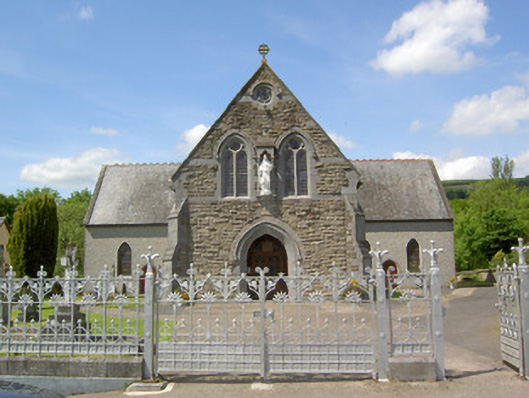 Catholic Church of the Sacred Heartchurch/chapel · 1.0 mi
 Stagdale Bridgebridge · 1.2 mi
 Bansha ForestForest · 1.2 mi
 Ballynacourty HouseCastle, unclassified · 1.3 mi
 MoatCastle, motte · 1.6 mi
 Knockanebrack HillMountain / peak · 2.3 mi
 Glen of AherlowViewpoint · 2.7 mi
 Christ the KingViewpoint · 2.8 mi
 Giant's Rock - Rock of AglaishNamed rock · 2.9 mi