What is recorded here
On a platform in gently sloping moorland on the W slope of Moanour mountain which is at the W end of Slievenamuck mountain. This wedge-tomb is partially buried in the surrounding bog. It consists of a long wedge-shaped gallery (L 5.4m; Wth 1.1m tapering to 0.65m at the backstone), flanked at either side by the remains of an outer wall (De Valera and Ó Nualláin 1982, 95-6). A pair of orthostats stand behind the E end of the gallery (ibid.). Two roofstones lie across the middle of the gallery and a displaced roofstone rests above the orthostats at the W end of the N side (ibid.). A number of displaced stones lie in front of the entrance (ibid.). The structure is incorporated in a roughly circular mound (diam. 8-9m) which rises little above the surface of the bog (ibid.). Monument is quite heavily overgrown with gorse, brambles, ferns and scrub with a rowan tree on the S side of the E end growing on the tomb.
Compiled by: Jean Farrelly
Date of upload: 26 August 2011
See linked document with details from Ruaidhrí de Valera and Seán Ó Nualláin, Survey of the Megalithic Tombs of Ireland. Volume IV. Counties Cork, Kerry, Limerick, Tipperary. (Dublin: Stationery Office, 1982)
Wedge tomb; Late Neolithic or Early Bronze Age. Its location on a prominent mountain slope suggests it may have had ritual or territorial significance in the landscape.
The monument record does not grant public access. Check the route and ask the landowner before entering private land.
- What survives
- Recorded monument
Places near here
 SlievenamuckMountain / peak · 1.1 mi
 Shrough Passage TombArchaeological place · 1.1 mi
 Stagdale Bridgebridge · 1.3 mi
 Enclosure in ShroughEnclosure · 1.3 mi
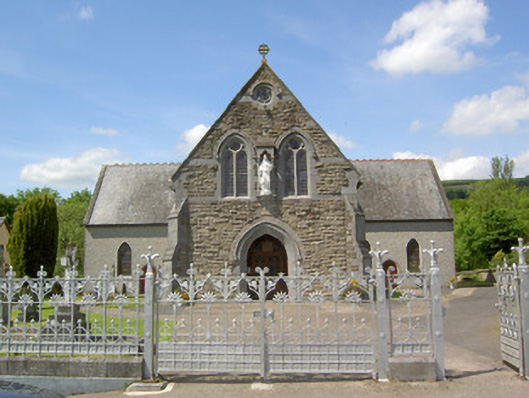 Catholic Church of the Sacred Heartchurch/chapel · 1.4 mi
 Knockanebrack HillMountain / peak · 1.9 mi
 Site of Dungrot CastleCastle, unclassified · 2.0 mi
 Ballynacourty HouseCastle, unclassified · 2.0 mi
 Bansha ForestForest · 2.3 mi
 Darby's Bed Walk LoopWalking route · 2.9 mi
 Giant's Rock - Rock of AglaishNamed rock · 3.0 mi
 Noel's NippleNamed rock · 3.6 mi