What is recorded here
One chamber tomb, now two stones and a buried slab, keeps the name Dermot and Grania's Bed above the twin river valleys near Gortahork. Fagan wrote of a long grave under a broad flag in the 1840s, but later building took much of what he saw. The bed may have belonged to lovers, rulers or forgotten ancestors; the stones no longer answer that question. What remains is a small broken line in the field, holding the shape of a loss the community never stopped naming.
This feature is named 'Dermot and Grania's Bed' on the OS 6-inch map of 1847-52. It is 1.4km SW of Gortahork on level ground above the valleys of the Owentilly River to the W and the Glenna River to the E, both of which reach the sea at the inner end of Ballyness Bay, 1.3km to the N.
Thomas Fagan (1845-8) described it as 'the ruins of an ancient sepulture called Dermot and Grania's Bed which at present consist in one grave 8 feet [c. 2 m] long enclosed at either side by a slab of nearly equal length placed edgeways in the ground and standing 11/2 feet [c. 0.45m] above the latter and supporting as cover to the grave a large flag 6 feet [c. 1.8m] long, 41/2 feet [c. 1.4m] broad and 9 inches [c. 0.2m] thick and a portion of its upper side partially studded with holes 1 to 2 inches [c. 25-50mm] diameter and 1/2 inch [c. 12mm] deep. Here stood other graves the enclosing stones of which have been long since removed to modern erections.'
Two opposed stones, aligned N-S and standing 0.7m apart, mark the site. They are at right angles to a field wall that has been built over them and largely obscures them. The eastern stone is 1m long, 0.1m thick and 0.7m high. The western is 0.9m long, 0.15m thick and also 0.7m high. Just 0.4m W of this is a partly buried, prostrate slab measuring at least 1.3m in maximum dimension. According to local information, there was further structure here until recent decades, but its extent and relationship to the two set stones are unclear. The remains cannot now be reconciled with Fagan's account, and the nature of the site remains to be satisfactorily determined.
Fagan 1845-8, book 4, 23; Ó Nualláin 1983a, 45, no. 131; SMR 1987, 24:14; RMP 1995, 24:14.
The above description was published in the 'Survey of the Megalithic Tombs of Ireland. Volume VI, County Donegal.' Compiled by: Eamon Cody (Dublin: Stationery Office, 2002).
Date of upload: 22 September 2008
The monument record does not grant public access. Check the route and ask the landowner before entering private land.
- What survives
- Recorded monument
Places near here
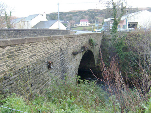 Droicheadh Bhedlam [Bedlam Bridge]bridge · 811 yd
 outbuildingoutbuilding · 1176 yd
 Dermot and Granias Bed (1905).Portal tomb · 1227 yd
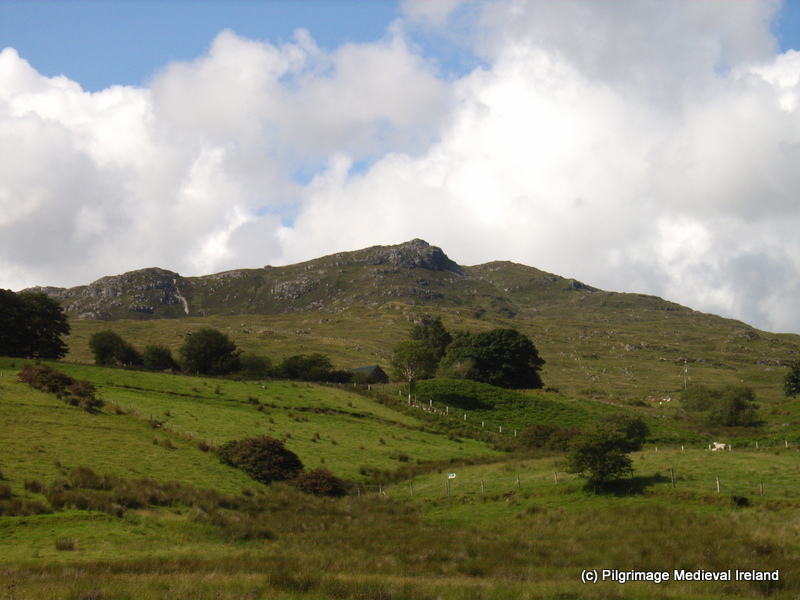 St. Columbkilles WellHoly well · 1312 yd
 Castle Bawne (in Ruins)Bawn · 2.0 mi
 MagheraroartyOfficial bathing water · 2.4 mi
 Monterey CypressMonterey Cypress · 3.1 mi
 Wych ElmWych Elm · 3.2 mi
 Trá Dhroim na TineBeach / strand · 3.8 mi
 Inis Bó FinneIsland · 4.5 mi
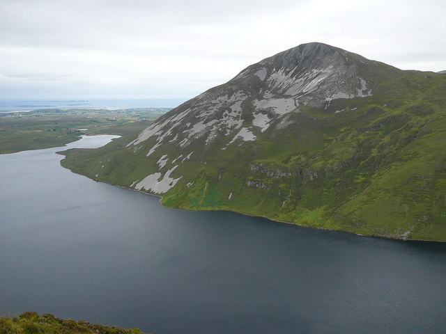 Aghla MoreMountain / peak · 4.5 mi
 Cnoc FolaMountain / peak · 4.7 mi