What is recorded here
Dermot and Granias Bed is a stone shelter built against a steep rocky knoll in County Donegal, first mapped in 1848. A tall upright slab holds one edge of a broad roof-slab, while the other edge rests on a natural ledge, forming a narrow chamber that might have hidden a person from rain or memory. Local tradition claims it served as a place of worship centuries ago, but the stones themselves give no answer, only a shadowed space where breath would echo and vanish.
First shown on the 1848-50 edition of the OS 6-inch map, this is a shelter-like feature built against the steep face of a rocky knoll. An upright slab 1.5m E of and parallel to the base of the knoll is 2m long, 0.4m thick and 1.6m high. This supports the eastern edge of a sloping roof-slab, 2.3m by 1.6m, the western edge of which rests on a ledge at a height of c. 0.6m on the rock face. Closeby to the S there is another slab on the ground. It is clear from OS documents that this structure was in its present state in the middle of the 19th century. An entry in an OS Revision Name Book (1848-50) records a claim that it was a place of worship 'some hundreds of years ago'.
Fagan 1845-8, book 23, 11; OS Revision Name Book, sheet 75 (1848-50), 10; OS 1:2,500 Name Book, sheet 75 (1903), 34; Ó Nualláin 1983a, 49, no. 176; SMR 1987, 75:2; RMP 1995, 75:2.
The above description was published in the 'Survey of the Megalithic Tombs of Ireland. Volume VI, County Donegal.' Compiled by: Eamon Cody (Dublin: Stationery Office, 2002).
Date of upload: 22 September 2008
The monument record does not grant public access. Check the route and ask the landowner before entering private land.
- What survives
- Recorded monument
Places near here
 Dermot & Grania's BedArchaeological place · 3 yd
 McDevitt's Bridgebridge · 853 yd
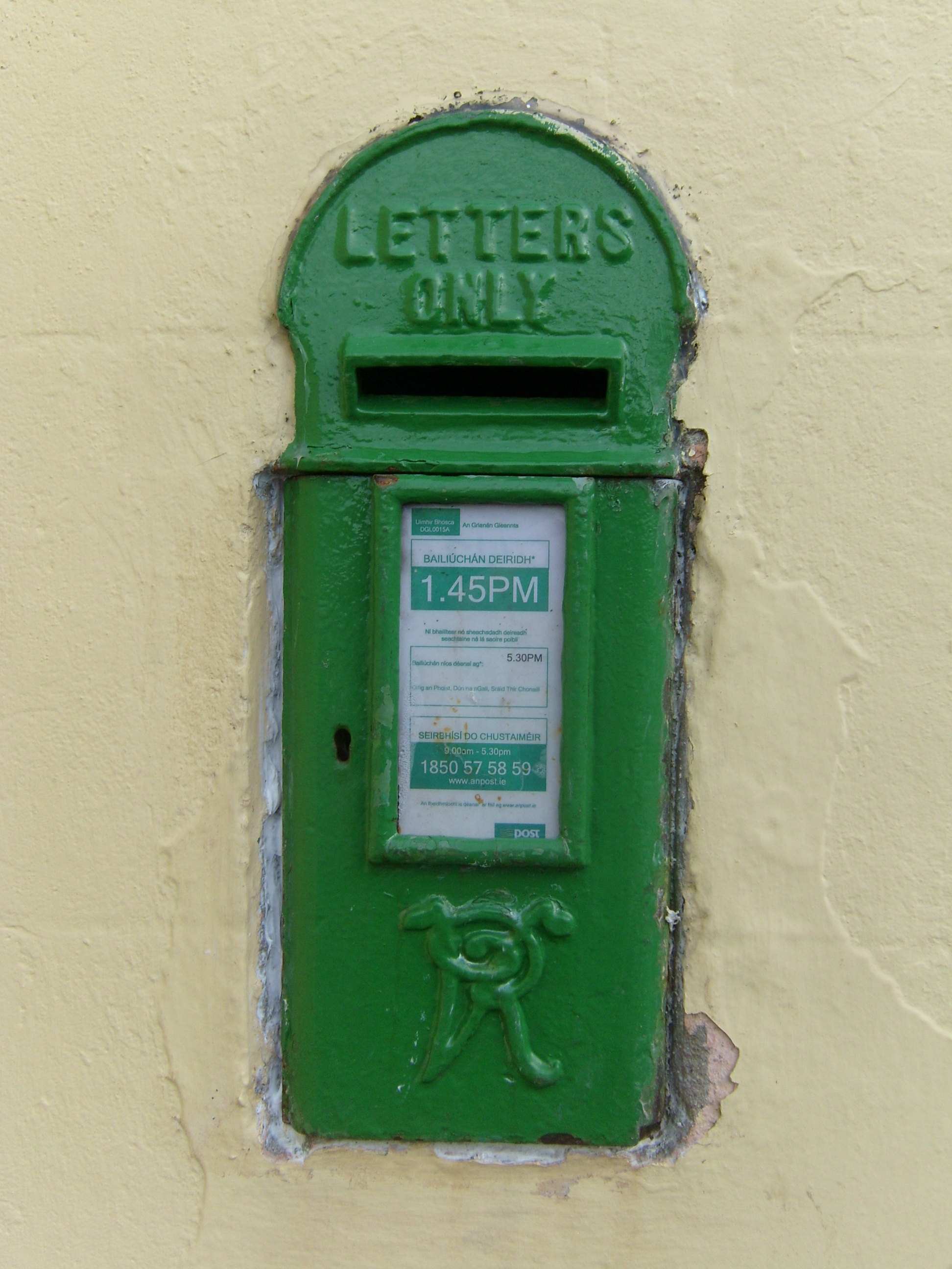 post boxpost box · 854 yd
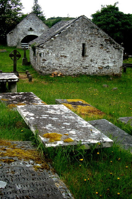 Inishkeel Graveyard near GlentiesGraveyard · 2.4 mi
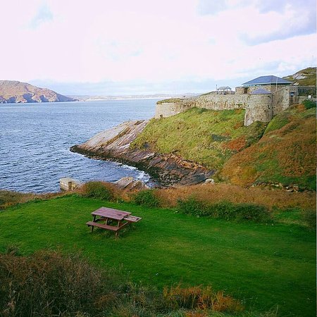 Drumnasillagh Inland Promontory FortPromontory fort, inland · 2.5 mi
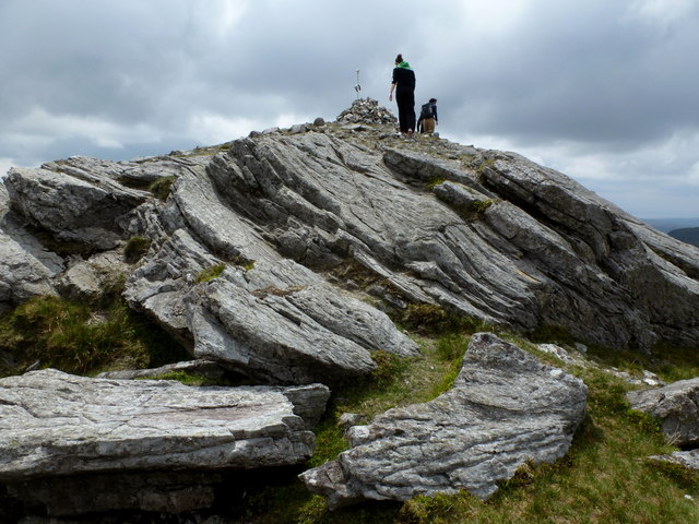 CarnaweenMountain / peak · 3.1 mi
 St. Connell's Museum and Heritage CentreMuseum · 3.1 mi
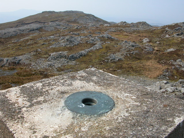 Aghla Mountain South TopMountain / peak · 3.1 mi
 Disert GraveyardGraveyard · 4.3 mi
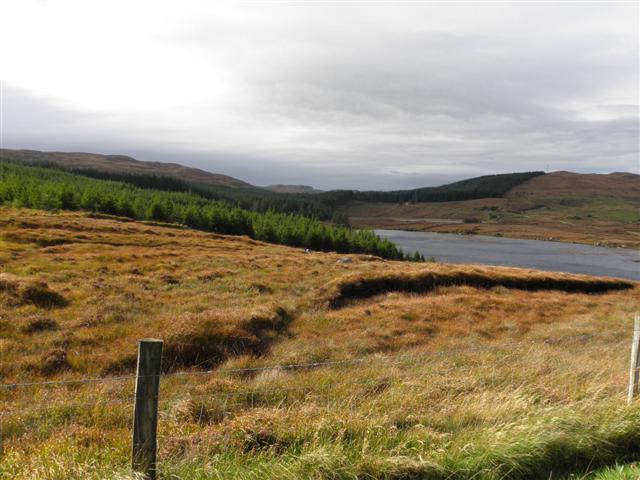 Derkmore Wood Nature ReserveNature reserve · 4.6 mi
 Wych ElmWych Elm · 5.8 mi
 Bonny Glen Wood - Bonny Glen walkOfficial walking route · 8.3 mi