What is recorded here
Situated on top of a mountain with extensive views. A sunken area (diam. 2.5m; D 0.8m) enclosed by a low cairn of flat slabs some of which have names inscribed on their surface (overall diam. 5.2m; H 0.4m). This could be a small cairn of prehistoric date or a nineteenth-century cairn associated with a local folk tradition. Not depicted on 1st ed. (1840) OS 6-inch map.
The above description is derived from 'The Archaeological Inventory of County Tipperary. Vol. 1 - North Tipperary' compiled by Jean Farrelly and Caimin O'Brien (Dublin: Stationery Office, 2002). In certain instances the entries have been revised and updated in the light of recent research.
Date of upload/revision: 22 September 2008
A Neolithic or early Bronze Age cairn tomb, possibly a simple cist burial with later additions. Its location and inscribed stones suggest ritual or commemorative significance, though its exact function remains uncertain.
The monument record does not grant public access. Check the route and ask the landowner before entering private land.
- What survives
- Recorded monument
Places near here
 BenduffMountain / peak · 375 yd
 Cliff-edge fort in CloncannonCliff-edge fort · 749 yd
 The MoatCastle, motte · 1590 yd
 Borrisnoe MountainMountain / peak · 1.1 mi
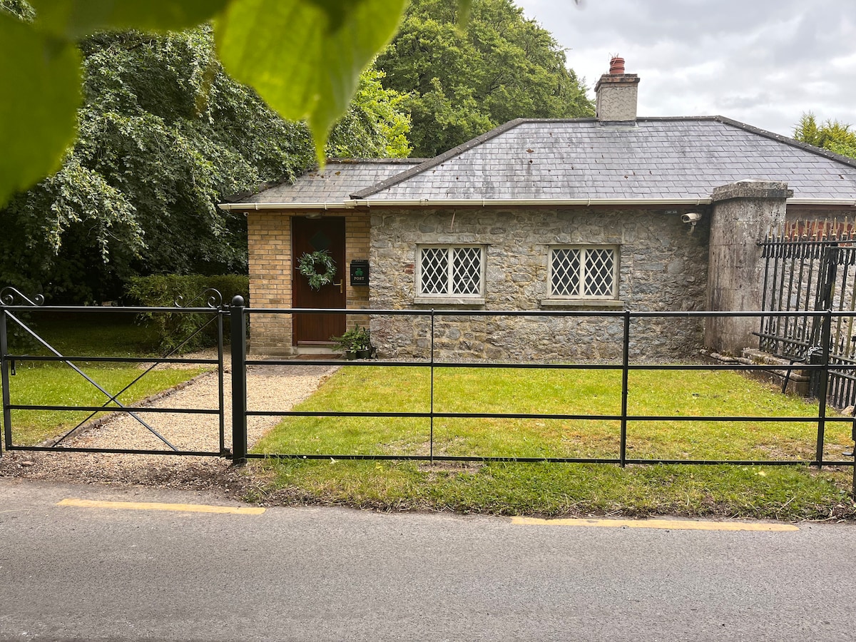 Enclosure in LoyerEnclosure · 1.5 mi
 CastleCastle, motte · 1.6 mi
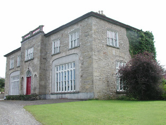 Lisduff Housecountry house · 1.6 mi
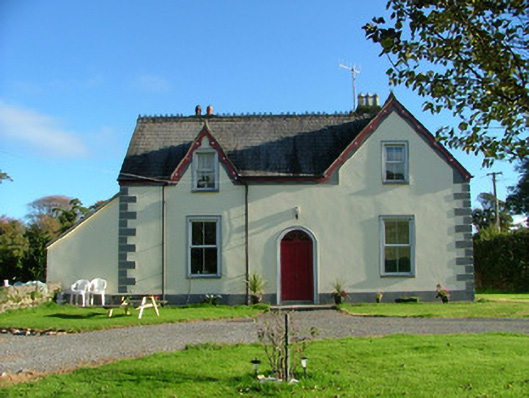 Barnagrotty Housefarm house · 1.9 mi
 Longford WoodForest · 2.7 mi
 Kyleroe WoodWood · 3.6 mi
 Thomas MacDonagh Heritage CentreMuseum · 7.5 mi
 MacDonagh HouseMemorial · 7.5 mi