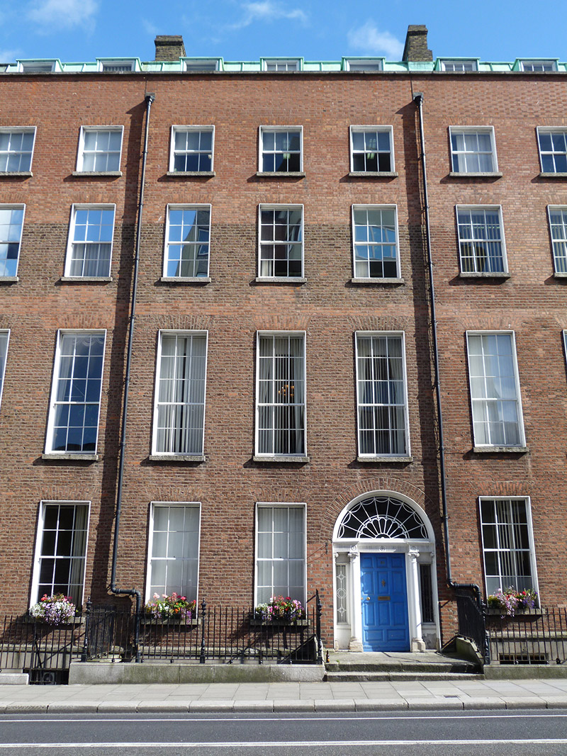
What is recorded here
Terraced three-bay four-storey over basement former townhouse, built c. 1800. Remodelled and attic accommodation added c. 1900. Now in use as offices. Flat mansard roof hidden behind brick parapet with concrete coping having uPVC rainwater goods and red brick chimneystacks to north and south ends. Red brick walls laid in Flemish bond over granite plinth course and lined-and-ruled rendered walls to basement. Square-headed window openings with concrete sills and raised rendered reveals with six-over-six pane timber sliding sash windows to ground and second floor, nine-over-six pane timber sliding sash windows to second floor and three-over-three pane timber sliding sash windows to third floor. Square-headed window openings with rendered reveals, granite sills and three-over-three pane timber sliding sash windows to basement. Round-headed door opening with rendered reveals having engaged Ionic columns and respond pilasters supporting fluted frieze and cornice with spider’s web fanlight and timber panelled door. Granite platform with granite steps flanked by iron railings on granite plinth, continuing to north to enclose basement area.
The facades and front rooms of this former townhouse and its neighbours to the north and south retain historic fabric, and the group maintains the architectural character of the streetscape. They were in use as part of the St. Vincent's Hospital complex until the opening of the new hospital at Elm Park in 1970. According to Casey (2005) 'Nos. 96-97 have recesses with attractive stucco tympana in the rear ground-floor dining rooms.' Leeson Street forms part of an ancient routeway, Suesey Street, leading from the city to Donnybrook. Located within the Fitzwilliam Estate, which covered much of the south-east of the city, the street was named after Joseph Leeson, 1st Earl of Milltown. Plots were leased for development in the mid-eighteenth century but, apart from the north-western end, it remained undeveloped until the 1780s.
This does not grant access. Most recorded buildings are privately owned; view them only from public ground unless the owner allows entry.
Places near here
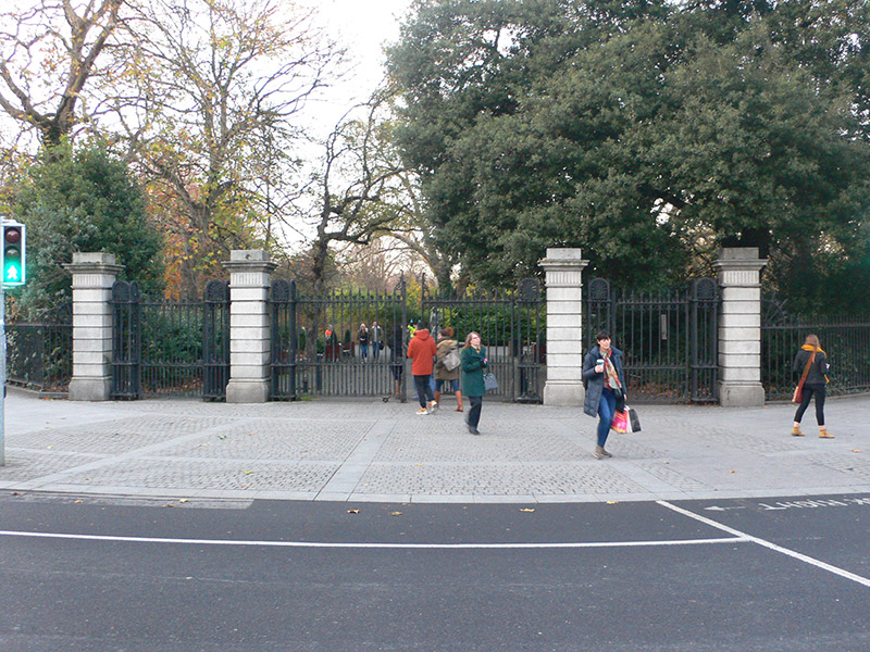 St. Stephen's Greengates/railings/walls · 127 yd
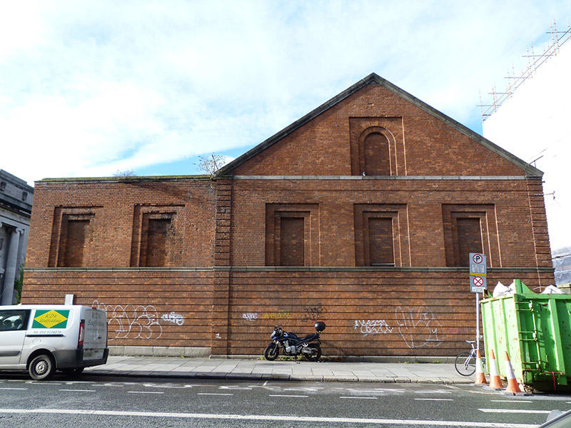 sports groundsports ground · 132 yd
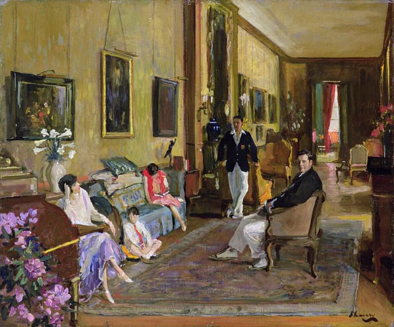 Count John McCormackMemorial · 224 yd
 Memorial to Human Rights DefendersMemorial · 279 yd
 Museum of Literature IrelandMuseum · 328 yd
 IndicatedPark · 374 yd
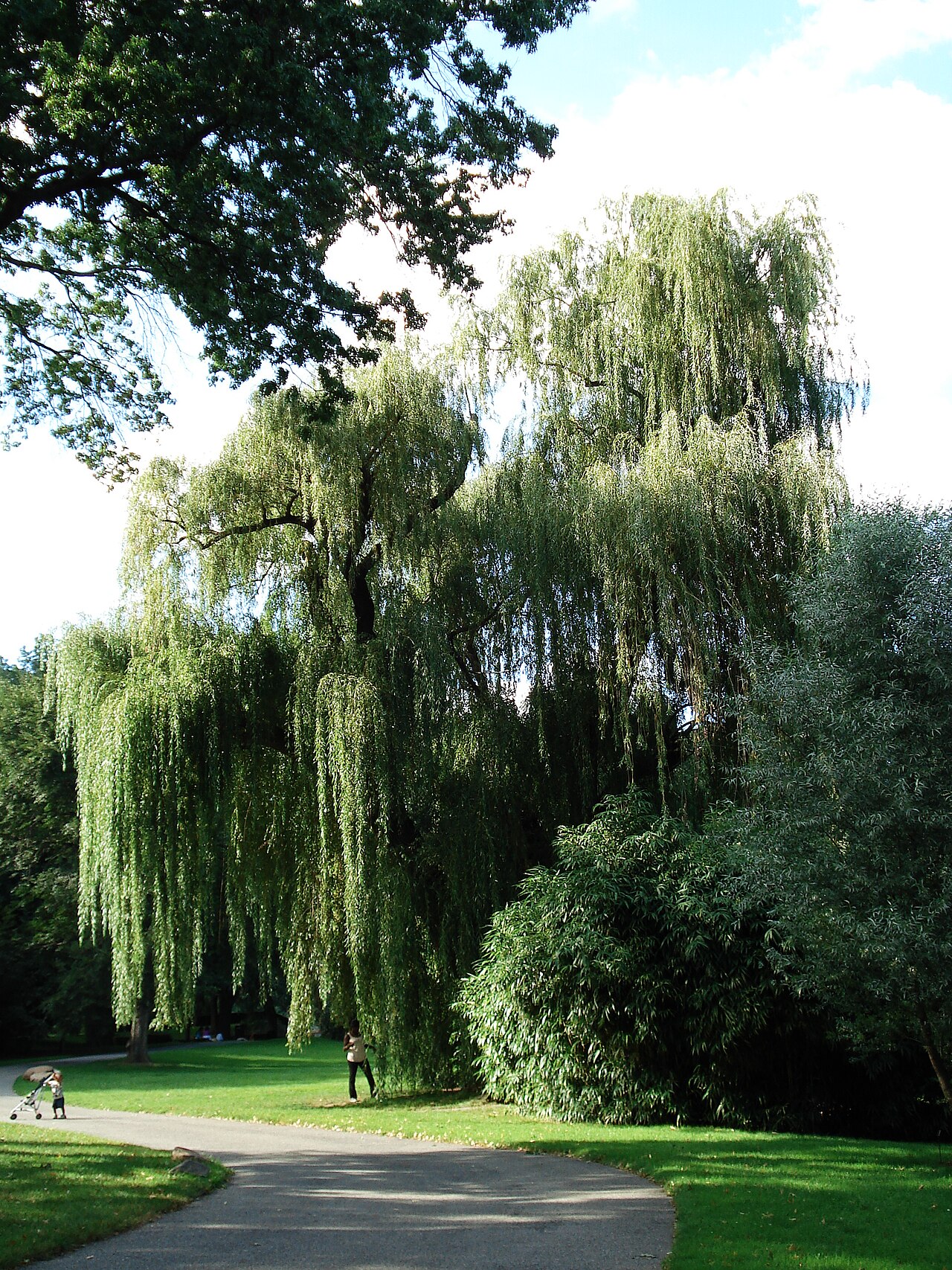 Weeping willowWeeping willow · 449 yd
 Lord ArdilaunMonument · 515 yd
 Bigleaf MapleBigleaf Maple · 1034 yd
 Battle of DublinMajor battlefield · 1118 yd
 Veronica GuerinHeritage attraction · 1160 yd
 Battle of RathminesMajor battlefield · 1296 yd
Other information
Photo: National Inventory of Architectural Heritage · Website use allowed for educational or private purposes with source credit