What is recorded here
The official Northern Ireland wreck record identifies Dei Sei as Sailing vessel [privateer]. It was lost in 1782. Recorded depth: 22m. Recorded condition: 1993 - cannon located and removed.
Dei Sei was a privateering sailing vessel lost in 1782 off the coast of Northern Ireland. It sank with no reported loss of life, and its remains, including a recovered cannon, lie at a depth of 22 metres.
A wreck point does not grant access or permission to dive, enter land, disturb the site or recover anything. Check current law and local conditions first.
Places near here
 MULTI-PERIOD CASTLEMULTI-PERIOD CASTLE, C15th-POST-MEDIEVAL, with ROCK-CUT Man-made underground passage: DUNLUCE CASTLE · 1565 yd
 Mermaid CaveCave · 1583 yd
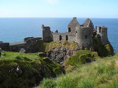 Dunluce CastleHeritage attraction · 1592 yd
 Promontory Fort in MagheracrossPromontory Fort · 1607 yd
 Enclosure/Rath in DunluceEnclosure/Rath · 1.1 mi
 White RocksVisitor information · 1.3 mi
 Large SkerriesIslet · 1.4 mi
 C18TH HOUSE on site of C17TH CASTLE in BallymagarryC18TH HOUSE on site of C17TH CASTLE · 1.4 mi
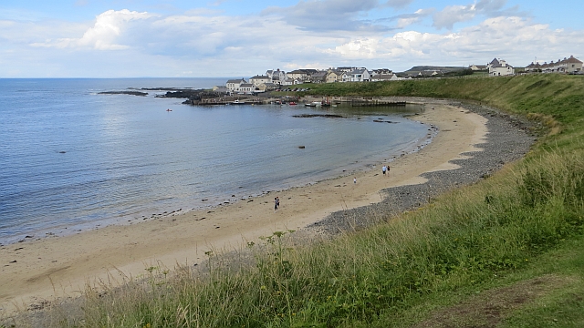 Portballintrae BeachBeach / strand · 1.8 mi
 East StrandBeach / strand · 1.8 mi
 Little SkerriesIslet · 2.0 mi
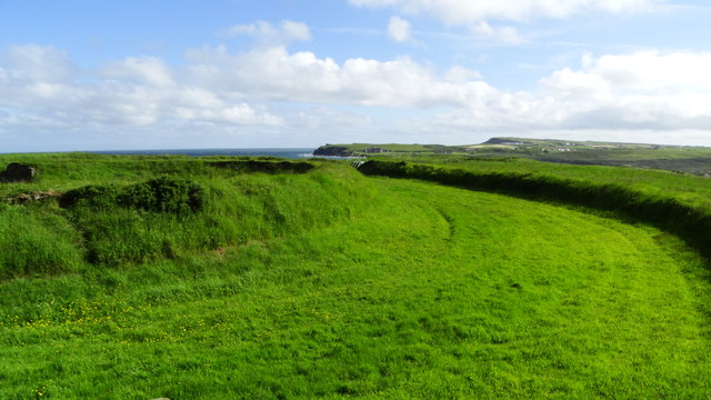 Lissanduff EarthworksNature reserve · 2.1 mi