What is recorded here
Scotland's National Record of the Historic Environment records Dei Sei as Privateer (period Unassigned)-(1782). The official map says its point is accurate as follows: NGR given to the nearest 1m. The record does not by itself mean that the public may enter the place.
The *Dei Sei* was a privateer active in the late 18th century, specifically recorded as being wrecked in 1782 off the Scottish coast. Its precise location is mapped to the nearest meter, though details of lives lost, cargo, or broader historical significance remain unrecorded.
The historic-place record does not grant public access. Check current conditions and ownership before entering land or a building.
Places near here
 MULTI-PERIOD CASTLEMULTI-PERIOD CASTLE, C15th-POST-MEDIEVAL, with ROCK-CUT Man-made underground passage: DUNLUCE CASTLE · 1566 yd
 Mermaid CaveCave · 1583 yd
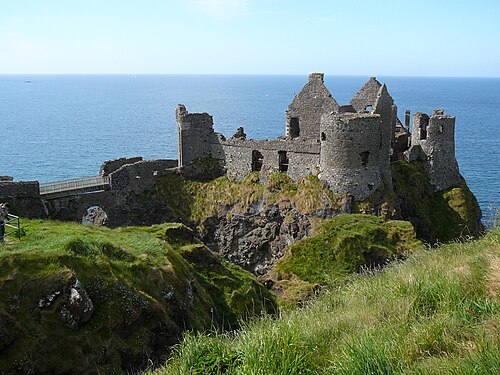 Dunluce CastleHeritage attraction · 1593 yd
 Promontory Fort in MagheracrossPromontory Fort · 1607 yd
 Enclosure/Rath in DunluceEnclosure/Rath · 1.1 mi
 White RocksVisitor information · 1.3 mi
 Large SkerriesIslet · 1.4 mi
 C18TH HOUSE on site of C17TH CASTLE in BallymagarryC18TH HOUSE on site of C17TH CASTLE · 1.4 mi
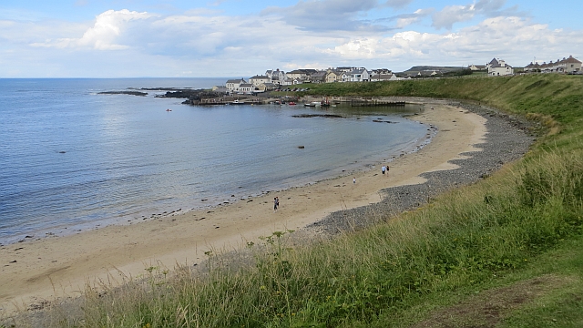 Portballintrae BeachBeach / strand · 1.8 mi
 East StrandBeach / strand · 1.8 mi
 Little SkerriesIslet · 2.0 mi
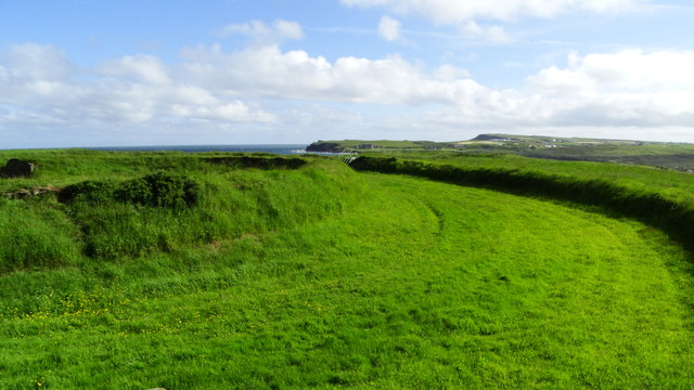 Lissanduff EarthworksNature reserve · 2.1 mi