What is recorded here
An earthwork complex consisting of a series of linear earthworks forming small rectangular enclosures and other features are clearly visible on aerial photographs taken by Cambridge University in 1966 (CUCAP APG090-098). These earthworks are contained within one large field (approx. dims. 725m N-S x 850m NW-SE) which form the townland of Deerpark as depicted on the 1837 ed. OS 6-inch map. The earthworks visible on the aerial photographs appear to be associated with this deerpark the dating of which is uncertain. On the 1837 ed. OS 6-inch map a large tree plantation is depicted in the centre of the park with walled garden on the NW side of this woodland. A series of pathways running through the woodland are visible on the 1837 ed. OS 6-inch map. Possible medieval deerpark associated with Ballintue Castle (WM010-019----) located 180m to the NW or with Ballintue Castle (WM010-040001-) and deserted medieval settlement (WM010-040----) located 200m to the S.
Compiled by: Caimin O'Brien
Date of upload: 16 June 2017
The monument record does not grant public access. Check the route and ask the landowner before entering private land.
- What survives
- Recorded monument
Places near here
 Man-made underground passage in Deerpark (moygoish By.)Man-made underground passage · 396 yd
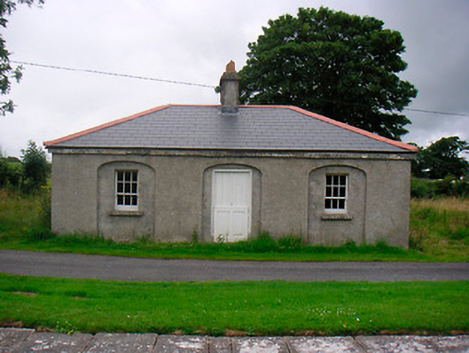 35th Locklock keeper's house · 592 yd
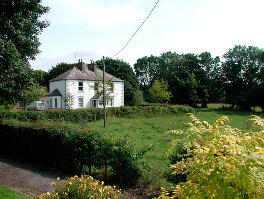 presbytery/parochial/curate's housepresbytery/parochial/curate's house · 607 yd
 Font (present location) in BallynacarrigyFont (present location) · 615 yd
 CastleCastle, unclassified · 679 yd
 Site of CastleCastle, unclassified · 711 yd
 Baronstown ForestWood · 2.0 mi
 Horse-chestnutHorse-chestnut · 2.0 mi
 Abbeyshrule AbbeyRuins · 5.0 mi
 Newcastle WoodsForest · 7.7 mi
 Noughaval CemeteryArchaeological place · 11 mi
 National Famine WayWalking route · 11 mi