What is recorded here
On a SE-facing slope of rising grassland in an upland region with good views in all directions. A tower house, Farranrory castle (TS049-051001-), is located immediately NE of the deerpark. A map of the coal district of Killenaule from 1824 9 NLI 16.I.17(1) shows the boundaries of the deerpark which encompasses the land adjoining the SW of the tower house. Traces of this deerpark enclosure (dims 375m NW-SE by 560m NE-SW) may be represented by a low roughly coursed limestone wall which runs parallel to the SW of the driveway up to the castle (H 1m; wall T 0.5m). Originally this wall may have enclosed the deerpark associated with Farranrory castle.
Compiled by: Jean Farrelly
Date of upload: 26 August 2011
The monument record does not grant public access. Check the route and ask the landowner before entering private land.
- What survives
- Recorded monument
Places near here
 Farranrory CastleCastle · 291 yd
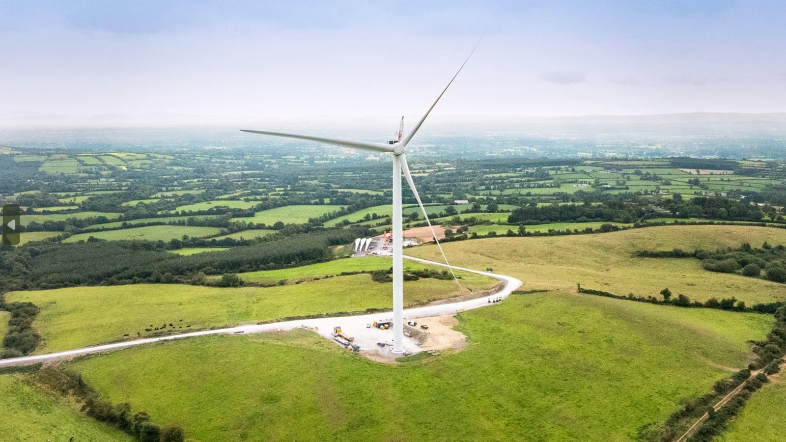 Enclosure in Farranrory LowerEnclosure · 854 yd
 Warhouse HillMountain / peak · 1342 yd
 The Warhousehouse · 1421 yd
 IndicatedFairy fort / earthen ringfort · 1489 yd
 Top Field at Carey'sForest · 1.4 mi
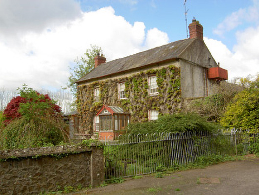 Jessfield Househouse · 1.4 mi
 Second Field on the HillForest · 1.4 mi
 Site of CastleCastle, unclassified · 2.4 mi
 Bregaun HillMountain / peak · 3.3 mi
 Ballykeefe AmphitheatreHeritage attraction · 4.8 mi
 Ballykeefe QuarryCliff · 4.8 mi