What is recorded here
Mid-19th-century road bridge (Wth c. 7.2m; long axis SW-NE) spanning the Dromoghty River. The body appears to be of semi-coursed sandstone rubble; E half of upstream side has been rebuilt or encased in concrete; downstream side is heavily overgrown. Single segmental arch (span c. 6m) with roughly shaped voussoirs visible where not masked in concrete or overgrown. Much of the W abuttment has been rebuilt due to the recent insertion of a large concrete overflow pipe. This bridge is not named on the 1846 OS 6-inch map, the name "Dawros Br." being applied instead to another bridge (KE101-127---) situated c. 200m upstream to the SE. It seems that the stretch of road carried by the bridge was under construction at the time of the 1846 OS survey and it is likely that the bridge was part of these works.
Compiled by: Elizabeth Byrne, Ursula Egan and Sheila Ronan, Archaeological Survey Unit, University College, Cork.
Date of upload: 30 May 2011
The monument record does not grant public access. Check the route and ask the landowner before entering private land.
- What survives
- Recorded monument
Places near here
 Font (present location) in DawrosFont (present location) · 73 yd
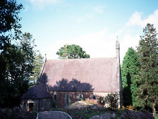 Dawros Catholic Churchchurch/chapel · 88 yd
 Dawros Br.Bridge · 107 yd
 Dunkerron Island EastIslet · 1505 yd
 Dunkerron Island WestIslet · 1569 yd
 Enclosure in Killaha EastEnclosure · 1669 yd
 Dunkerron CastleCastle · 1.7 mi
 Killaha MountainMountain / peak · 1.9 mi
 Mucksna Nature ReserveNature reserve · 2.1 mi
 Feorus EastMountain / peak · 2.2 mi
 Coss StrandBeach / strand · 2.3 mi
 Kenmare Stone CircleHeritage attraction · 2.6 mi