What is recorded here
Half-buried in the grass of the old Clonbrock estate, Dark Fort keeps its western curve intact while the eastern edge has surrendered to soil and memory. A field boundary still cuts through the monument, and trees now hide the northern bank, but the surviving ditch and earthwork suggest a place where people once drew a clear line between inside and outside. Whatever lived there has vanished, yet the fort still resists forgetting by holding its shape against the land.
In level grassland within the former Clonbrock estate. Marked on 1st ed. of OS 6-inch map as a roughly oval enclosure (E-W c. 35m); what survives is a semicircular area defined from SE through W to NW by a bank and external fosse. Traces of a possible outer bank survive from S through W to NW. A field boundary cuts the monument at NW and SE, to N of which the former line of the enclosing elements is obscured by trees and bushes. This monument also extends on to OS sheet 74 (GA074-023----).
The above description is derived from the published 'Archaeological Inventory of County Galway Vol. II - North Galway'. Compiled by Olive Alcock, Kathy de hÓra and Paul Gosling (Dublin: Stationery Office, 1999).
Date of upload: 05 August 2010
The monument record does not grant public access. Check the route and ask the landowner before entering private land.
- What survives
- Recorded monument
Places near here
 IndicatedEnclosure · 180 yd
 Chapel FortFairy fort / ringfort · 805 yd
 SycamoreSycamore · 998 yd
 Saint Patrick's Catholic Churchchurch/chapel · 1405 yd
 Sweet ChestnutSweet Chestnut · 1462 yd
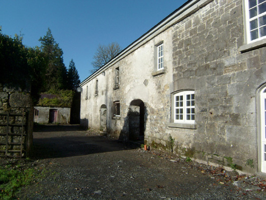 Clonbrockoutbuilding · 1669 yd
 Clonbrock CastleCastle, tower house · 1728 yd
 Site of Doon CastleCastle, unclassified · 1.8 mi
 Kilconnell AbbeyHeritage attraction · 4.5 mi
 Inch IslandIsland · 6.2 mi
 Battle of Aughrim Interpretative CentreMuseum · 6.8 mi
 Battle of AughrimMajor battlefield · 7.4 mi