
What is recorded here
Dardistown Castle stands as a rectangular tower house on a slight slope above the Nanny River, holding three empty floors and corner towers that once watched the water. Richard Talbot owned the castle, stone house and two mills in 1640, while the Osborne family still occupied the grounds by the nineteenth century. The bare rooms and discarded staircases suggest a place where human life withdrew rather than vanished, leaving behind a quiet structure that still faces the river and remembers its keepers.
Situated on a slight N-facing slope on the S side of the W-E Nanny River, with the stream c. 550-650m to the N. According to the Civil Survey (1654-6) Richard Talbot owned 312 acres at Dardistowne in Moorechurch parish in 1640, and the property included ‘one castle, one stone house and two mills’ (Simington 1940, 8). By the nineteenth century it has passed to the Osborne family (Lewis 1837, 2, 392), and it is still occupied. The tower house is a rectangular structure with a NW-SE barrel vault on the ground floor and projecting rectangular corner towers, of which the S has a newel stairs. The first floor is an open space with a single Georgian style window on each wall except the SW, but the corner towers are generally disused. The second and third floors are equally empty except that there are fireplaces on the SW wall at both levels. It is provided with a hip roof and steps mount to look-outs over the corner towers, but no crenelations survive.
The above description is derived from the published 'Archaeological Inventory of County Meath' (Dublin: Stationery Office, 1987). In certain instances the entries have been revised and updated in the light of recent research.
Compiled by: Michael Moore
Date of revision: 28 June 2016
Richard Talbot held Dardistown Castle in the mid-17th century, as recorded in the Civil Survey of 1654–5. The site is historically significant as part of the Talbot family's extensive landholdings in the region.
The monument record does not grant public access. Check the route and ask the landowner before entering private land.
- What survives
- Recorded monument
Places near here
 Dardistown CastleHouse, 16th/17th century · 16 yd
 Enclosure in Calliaghstown (duleek Lower By.)Enclosure · 754 yd
 St. Columbkilles WellHoly well · 1414 yd
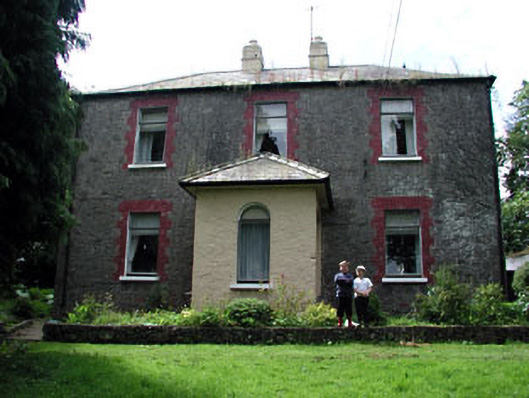 farm housefarm house · 1655 yd
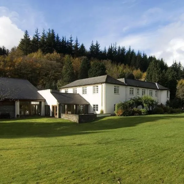 CastleCastle, ringwork · 1.1 mi
 MoatCastle, motte · 1.2 mi
 Battle of Julianstownbattle · 1.4 mi
 SycamoreSycamore · 3.6 mi
 Newgrange Business ParkMemorial · 3.8 mi
 Common LimeCommon Lime · 4.3 mi
 Beaulieu House and GardensHeritage attraction · 4.5 mi
 Yellow IslandIslet · 5.2 mi
Other information
Photo: Kieran Campbell · CC BY-SA 2.0