What is recorded here
Marked similarly on the 1837 ed. of the OS 6-inch map where it is described in gothic lettering as 'Dane's Well', and situated on a flat low-lying landscape. This is a rectangular well (dims 0.8m x 0.8m; D 1.5m) enclosed in concrete and now dry within a rectangular enclosure (dims 10.5m NW-SE; 7.7m NE-SW) defined by an earthen bank. There is no evidence of or knowledge of veneration.
Compiled by: Michael Moore
Date of upload: 24 August 2010
The monument record does not grant public access. Check the route and ask the landowner before entering private land.
- What survives
- Recorded monument
Places near here
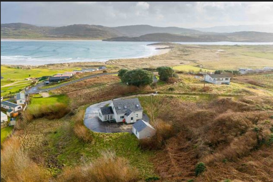 Embanked enclosureFairy fort / earthen ringfort · 515 yd
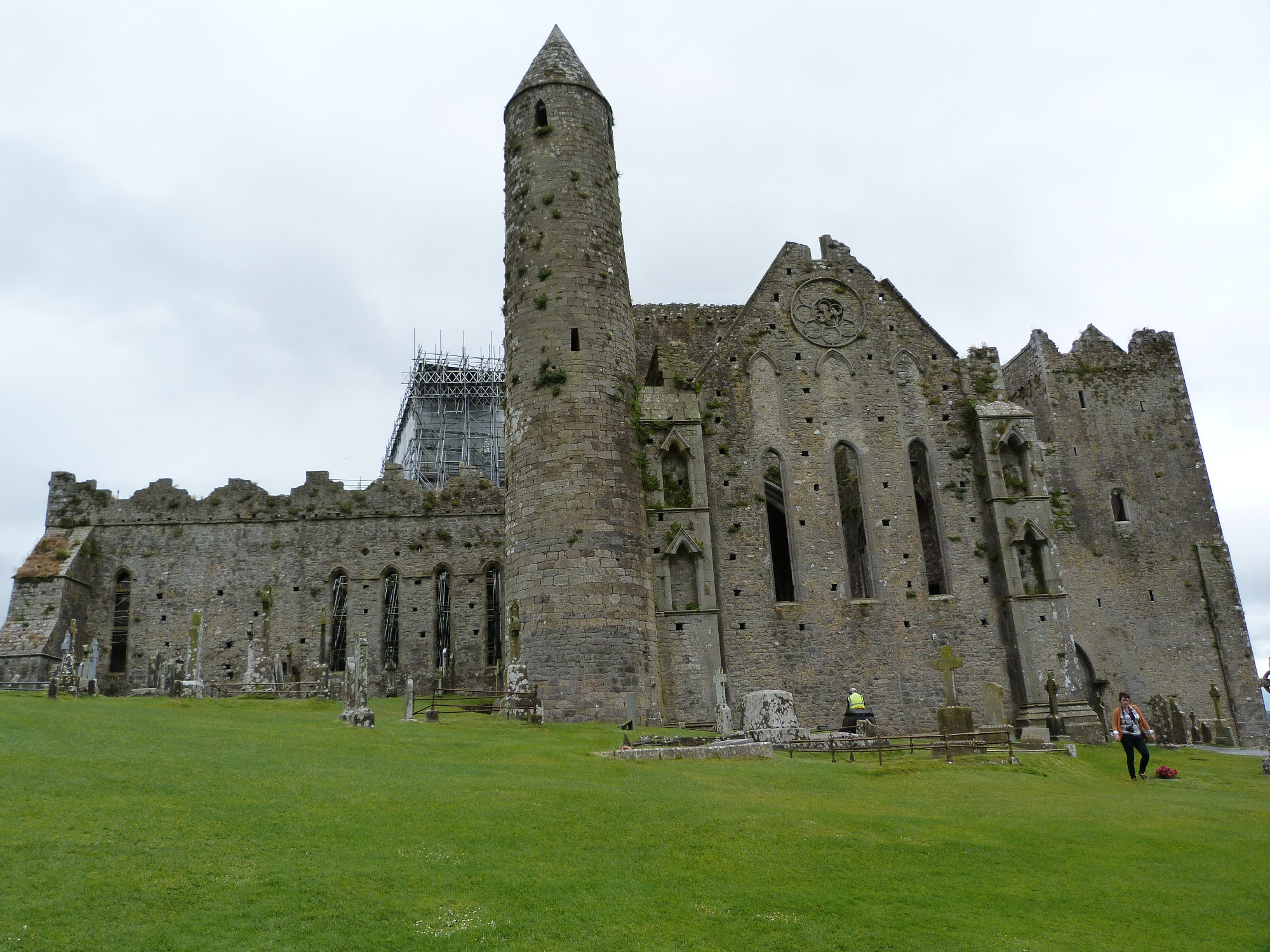 CashelArchaeological place · 1195 yd
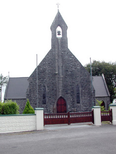 Saint Baoithín's Catholic Churchchurch/chapel · 1.7 mi
 Church (in Ruins)Church · 1.7 mi
 CastleBawn · 1.8 mi
 Bawn IslandIslet · 1.9 mi
 Frenchpark Ho.Castle, unclassified · 2.0 mi
 Square WoodForest · 2.2 mi
 Gray's WoodForest · 2.3 mi
 Fairymount HillMountain / peak · 3.3 mi
 Rose PointHeadland · 3.5 mi
 Castle PointHeadland · 4.2 mi