What is recorded here
Internal diam. c. 27.5m. Known locally as the 'Danes Fort' the site consists of a subcircular area enclosed by an earthen bank and an external fosse which has been reused for drainage purposes. The bank survives up to 1.25m in height on the SE side but has been almost levelled on the W and NW. A modern entrance, with a causeway across the fosse, has been built on the W side but it is not clear that this reflects an earlier feature. A field boundary with an E drain abuts the monument on the NE. The interior is used as a garden and orchard. Farm buildings and a road bound it on the W and SE and a stream on the NW. It is situated on the SE slope of Mullan Hill in good land.
The above description was derived from the 'Archaeological Survey of County Donegal. A description of the field antiquities of the County from the Mesolithic Period to the 17th century.' Compiled by: Brian Lacey with Eamon Cody, Claire Cotter, Judy Cuppage, Noel Dunne, Vincent Hurley, Celie O'Rahilly, Paul Walsh and Seán Ó Nualláin (Lifford: Donegal County Council, 1983). In certain instances the entries have been revised and updated.
Date of upload: 22 September 2008
The monument record does not grant public access. Check the route and ask the landowner before entering private land.
- What survives
- Recorded monument
Places near here
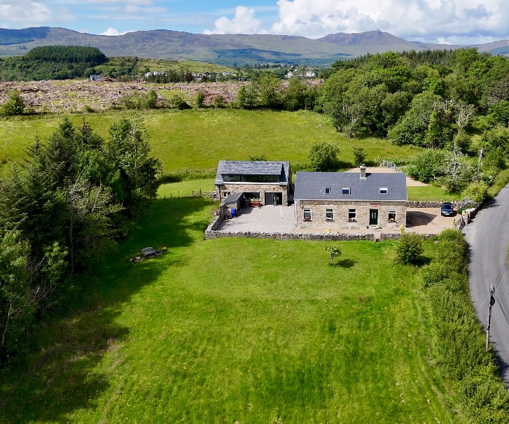 Ballaghderg EnclosureEnclosure · 684 yd
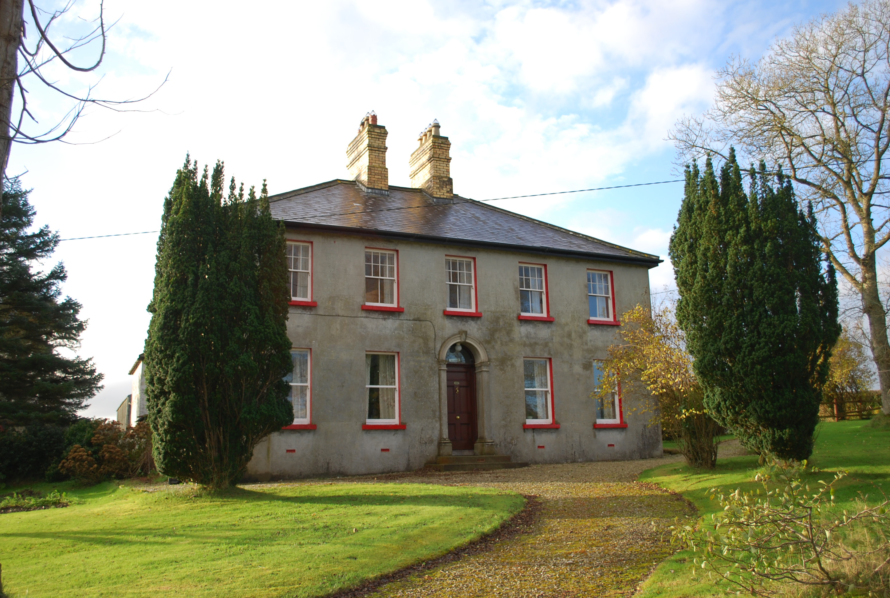 Ivy Cottagehouse · 1254 yd
 Former Bellanascaddan Fairy FortFairy fort / ringfort · 1390 yd
 Church in KillydesertChurch · 1.7 mi
 BallykeeranForest recreation place · 2.9 mi
 Ballyarr Nature ReserveNational nature reserve · 3.3 mi
 Castle (Site of)Castle, unclassified · 3.7 mi
 Gregory HillMountain / peak · 3.7 mi
 Battle of Scarrifholisbattle · 4.4 mi
 Site of Castle SollusCastle, unclassified · 4.4 mi
 Newmills Corn and Flax MillsHeritage attraction · 4.7 mi
 Stackarnagh Abbey GraveyardGraveyard · 4.9 mi
Other information
Photo: Credit not shown in the picture search · Rights wording not checked; contact us if this picture should be removed