What is recorded here
In wooded area, at foot of NNW facing slope, in flood plain of River Shannon. Linear ditch (Wth. 1.55m) defined by inner scarp-edge (H 3.05m) along S side and by earthen field bank (H 2m) along N edge. Ditch, extending on NE-SW axis for c. 35m, is heavily clogged with organic debris. Bank is masked by vegetation cover. This probably a drainage feature associated with the nearby river.
Compiled by: Denis Power
Date of upload: 26 August 2011
The monument record does not grant public access. Check the route and ask the landowner before entering private land.
- What survives
- Recorded monument
Places near here
 CastleCastle, tower house · 1101 yd
 Old Wind MillWindmill · 1424 yd
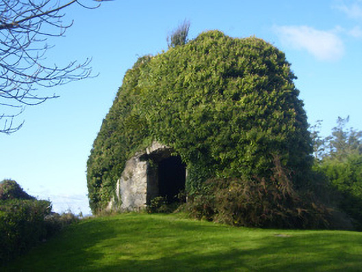 mill (wind)mill (wind) · 1436 yd
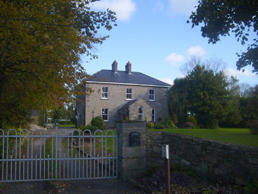 Dromaher Househouse · 1482 yd
 Bawn in Castletown (kenry By.)Bawn · 1548 yd
 Ringmoylan PierVisitor information · 1614 yd
 Grave Yd.Graveyard · 1.1 mi
 Horse RockNamed rock · 1.2 mi
 Sweet ChestnutSweet Chestnut · 1.2 mi
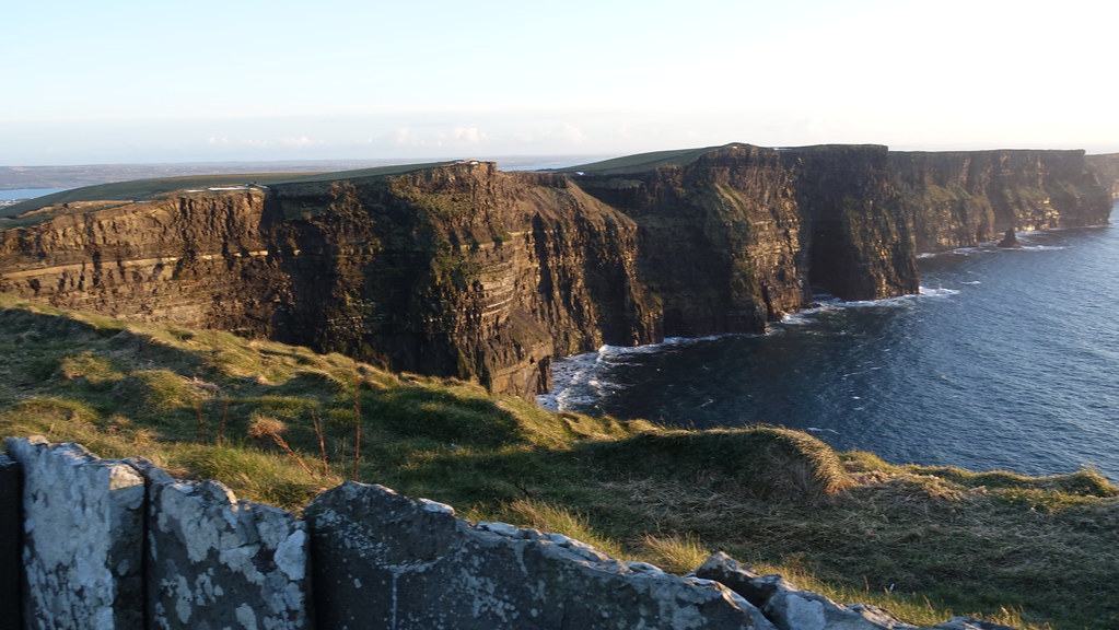 Conor's RockNamed rock · 1.8 mi
 Shannon Airport Aviation GalleryMuseum · 2.6 mi
 Grass IslandIslet · 3.6 mi