What is recorded here
In pasture, at SE edge of estuary inlet of River Shannon. Monument, depicted as trapezoidal enclosure (c. 30m N-S; c. 25m E-W) on 1923 OS 6-inch map, has been levelled. No trace of monument evident when inspected. Flood bank skirts edge of inlet to N; enclosure abutted this at NW corner and may therefore have been part of flood-bank system.
Compiled by: Denis Power
Date of upload: 26 August 2011
The monument record does not grant public access. Check the route and ask the landowner before entering private land.
- What survives
- Recorded monument
Places near here
 CastleCastle, tower house · 761 yd
 Bawn in Castletown (kenry By.)Bawn · 1480 yd
 Old Wind MillWindmill · 1754 yd
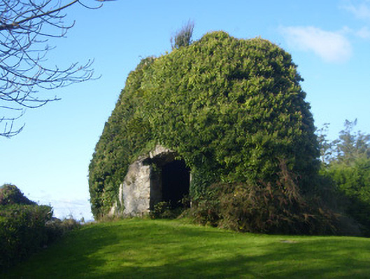 mill (wind)mill (wind) · 1.0 mi
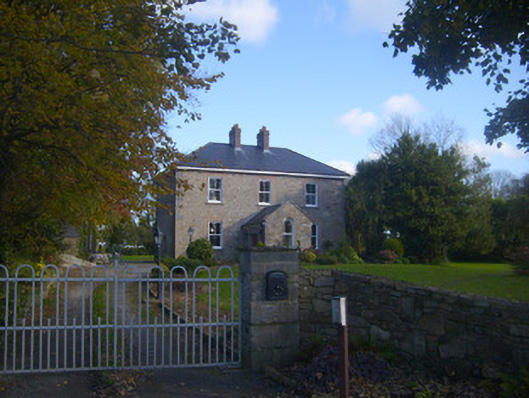 Dromaher Househouse · 1.0 mi
 Ringmoylan PierVisitor information · 1.0 mi
 Grave Yd.Graveyard · 1.1 mi
 Horse RockNamed rock · 1.2 mi
 Sweet ChestnutSweet Chestnut · 1.5 mi
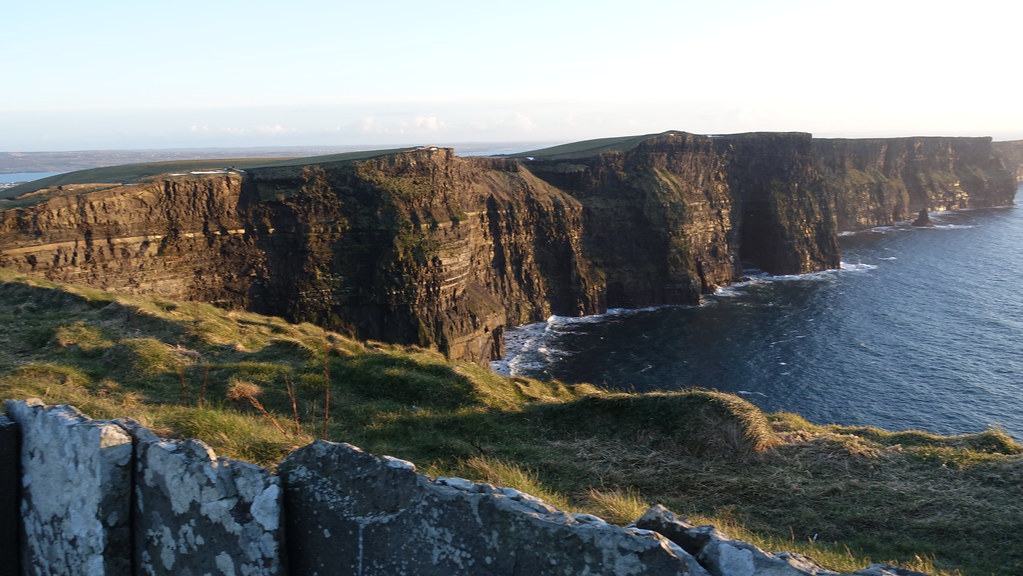 Conor's RockNamed rock · 1.7 mi
 Shannon Airport Aviation GalleryMuseum · 2.5 mi
 Stonehall Visitor FarmHeritage attraction · 3.8 mi