
What is recorded here
Dalmellington, Chalmerston Mines is a colliery in East Ayrshire, Scotland.
Places near here
Photo credits
- Leslie Barrie, Wikimedia Commons · CC BY-SA 2.0
- Humphrey Bolton, Wikimedia Commons · CC BY-SA 2.0
- Mary and Angus Hogg, Wikimedia Commons · CC BY-SA 2.0
- Phil Williams, Wikimedia Commons · CC BY-SA 2.0
- Maker not stated on source page, britishlistedbuildings.co.uk
- Maker not stated on source page, uk.pinterest.com
- Billy McCrorie, Wikimedia Commons · CC BY-SA 2.0
 Craigmark HillMountain / peak · 401 yd
 Sloanston BurnQuarry (mid 19th Century) · 750 yd
 Dalmellington, Craigmark, Runnin Dog InnInn, Public House · 1047 yd
 Hare CraigMountain / peak · 1124 yd
 CraigmarkCoal Mining Site (late 19th Century) · 1181 yd
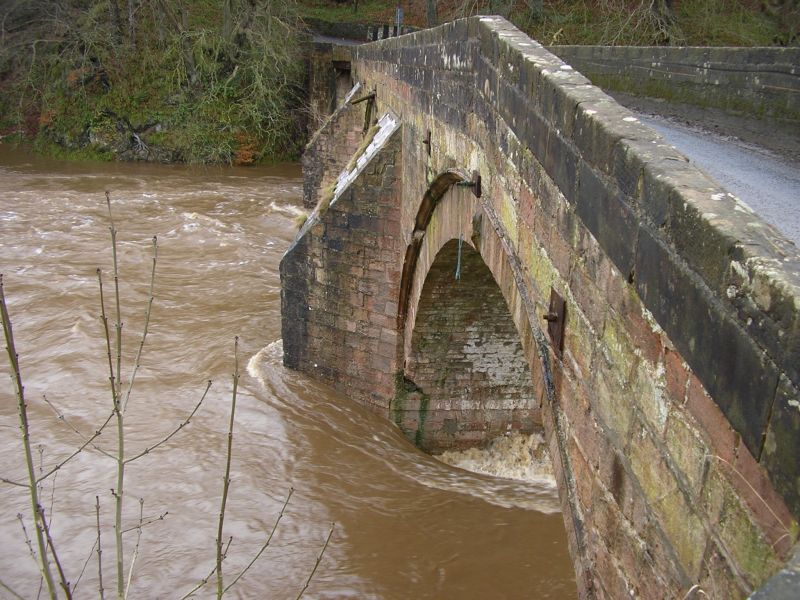 Minnivey, BridgeBridge (20th Century) · 1612 yd
 Dalmellington, Sillyhole BridgeRoad Bridge · 1.0 mi
 Dalmellington, Sillyhole Bridge, Cottage HospitalDrill Hall (first World War), Drill Hall (20th Century), Hospital · 1.0 mi
 Miners of Dalmellington Parish MemorialMemorial · 1.3 mi
 Dalmellington, Ayr Road, Community CentreCommemorative Monument (21st Century) (2019) · 1.3 mi
 War MemorialMemorial · 1.5 mi
 Laight CastleEarthwork(s), Tower House (medieval) · 1.9 mi
More archaeology and monuments in East Ayrshire · All of East Ayrshire

What do you know about this place?Tap to add a comment or ask a question