What is recorded here
Dallán is a two-metre rectangular stone leaning south-southwest in Cork pasture, framing the Feale River valley. It is not a hidden monument; it is a visible marker in open farmland. The stone may have guided people, marked a boundary or watched the river for generations.
In pasture, looking W along valley of Feale River. Stone (H 2m; 0.45m x 0.55m) is rectangular in plan, leaning heavily to SSW, long axis NE-SW.
The above description is derived from the published 'Archaeological Inventory of County Cork. Volume 4: North Cork' (Dublin: Stationery Office, 2000). In certain instances the entries have been revised and updated in the light of recent research.
Date of upload/revision: 14 January 2009
Dallán, Tooreennagrena is likely a prehistoric standing stone, potentially dating to the Bronze Age, and may have functioned as a territorial marker, ritual monument, or astronomical alignment feature. Its name and location suggest possible associations with local folklore or early Irish saintly traditions, though specific meanings remain unrecorded.
The monument record does not grant public access. Check the route and ask the landowner before entering private land.
- What survives
- Recorded monument
Places near here
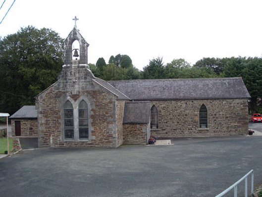 Saint Peter's Churchchurch/chapel · 429 yd
 Rockchapel Burial GroundGraveyard · 572 yd
 IndicatedKiln, lime · 894 yd
 Fulacht fia in GlenacarneyFulacht fia · 1022 yd
 Rock HillMountain / peak · 2.4 mi
 KnockacummerMountain / peak · 2.5 mi
 Three CountiesPicnic place · 3.3 mi
 Mullaghareirk - Banane LoopWalking route · 4.2 mi
 Glenduff CastleCastle, tower house · 6.3 mi
 Glenquin CastleCastle · 6.9 mi
 Saint Ite's WellSpring · 7.2 mi
 TobereenalaffinaSpring · 8.2 mi