What is recorded here
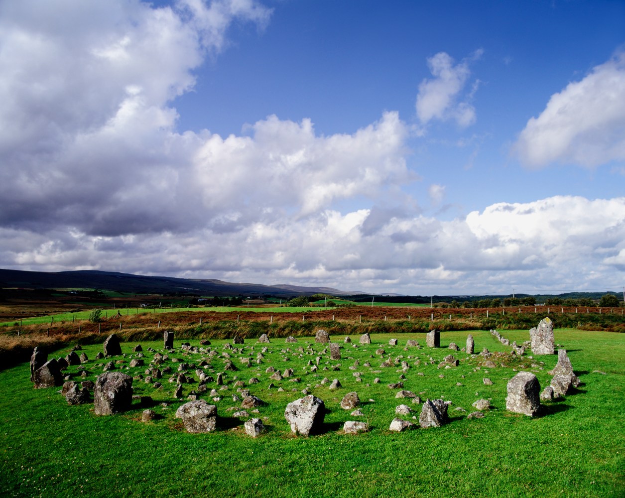
Dallan is an unmarked standing stone in a Cork pasture, standing 0.8m tall on a south-east slope. Its rectangular body narrows slightly at the top and aligns west-northwest to east-southeast, pointing across the field like a forgotten measure. It may have marked a boundary, a path or a promise, yet no map from 1842 or 1905 gave it a name.
Not marked on 1842 and 1905 OS 6-inch maps. In pasture, on SSE-facing slope. Stone (H 0.8m; 0.54m x 0.5m) is rectangular in plan, narrowing slightly towards top; long axis WNW-ESE.
The above description is derived from the published 'Archaeological Inventory of County Cork. Volume 4: North Cork' (Dublin: Stationery Office, 2000). In certain instances the entries have been revised and updated in the light of recent research.
Date of upload/revision: 14 January 2009
The monument record does not grant public access. Check the route and ask the landowner before entering private land.
- What survives
- Recorded monument
Places near here
 Folachta FiadhFulacht fia · 560 yd
 Moated site in Ballyarthur (condons and Clongibbon By., Marshalstown Par.)Moated site · 691 yd
 IndicatedKiln, lime · 1676 yd
 Ballaghaderg Bridgebridge · 1.2 mi
 Ballyarthur HillMountain / peak · 1.3 mi
 White Knights Tower (Site of)Castle, unclassified · 1.9 mi
 Carriganoura Castle (in Ruins)Castle, tower house · 1.9 mi
 John MandevilleMemorial · 2.4 mi
 Mitchelstown Town MapVisitor information · 2.5 mi
 Statue of Saint FanahanMemorial · 2.6 mi
 Kilclooney WoodWood · 3.5 mi
 FlagCave · 5.1 mi