
What is recorded here
Scotland's National Record of the Historic Environment records Dalguise, Dalguise House as Hospital (first World War), House (period Unassigned). The official map says its point is accurate as follows: NGR given to the nearest 1m. The record does not by itself mean that the public may enter the place.
The historic-place record does not grant public access. Check current conditions and ownership before entering land or a building.
Places near here
 Dalguise, Charleston FarmFarmstead (period Unassigned) · 379 yd
 Dalguise, Tay ViaductRailway Viaduct (19th Century) · 446 yd
 DalguiseRig and Furrow (medieval) - (post Medieval), Track (period Unassigned) · 690 yd
 DowallyRing Ditch (period Unassigned)(possible) · 882 yd
 Creag an UamhaidhMountain / peak · 1.3 mi
 Willie Birrell MemorialMemorial · 1.8 mi
 Creag MartachMountain / peak · 1.9 mi
 Logierait ViaductVisitor information · 2.9 mi
 Lady Charlotte's CaveCave · 3.0 mi
 Logierait, CemeteryCemetery (20th Century) · 3.0 mi
 Polney CragCliff · 3.1 mi
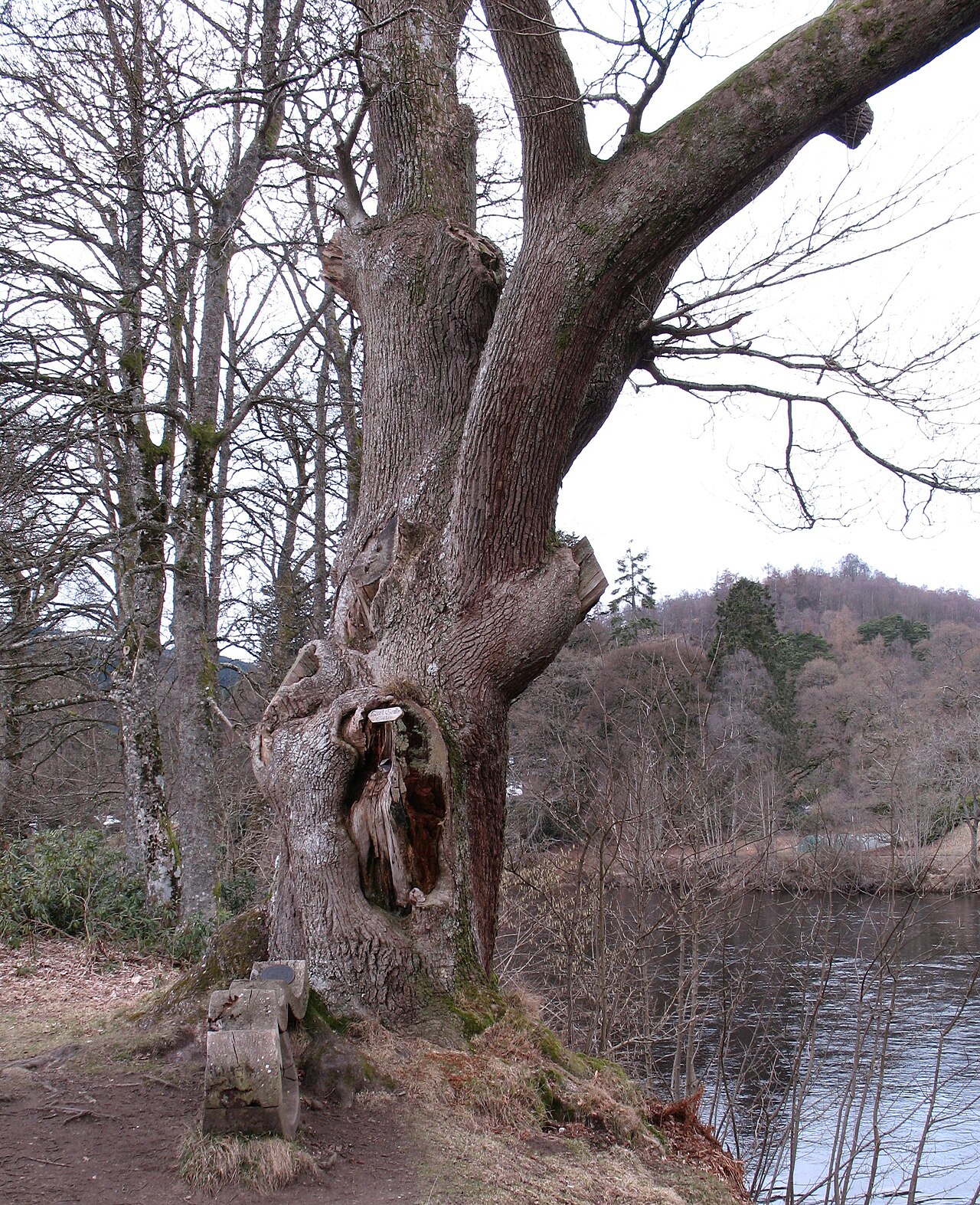 Niel Gow's OakOak · 3.6 mi
Other information
Photo: Kirsty Smith · CC BY-SA 2.0