
What is recorded here
The RMP (1998) lists this as 'Custom House Site' on Wellington Quay, now partially occupied by site of the Clarence Hotel (NIAH Reg. No. 50020034). According to De Courcy (1996, 105-8) the site of the 'Old Custom House' developed by James I in 1620 was located on a site that extended N-S from the high tide shoreline of the Liffey to the modern Essex Street and E-W from Crane Lane to a line E of modern Crampton Court. The site location was to be 'for a place in the port of Dublin which is found to be convenient for erecting a crane and making a wharf' (ibid., 105). The plot of land on which the Custom House was built measured 160 feet [49m] in length by 106 feet [32m] in breadth and was to have access to Dame Street through a lane measuring 18 feet [5.5m] in breadth which became known as Crane Lane. A wooden quay was constructed on the site by 1625. In 1660 a Council Chamber was built on the site. A new Custom House designed by Thomas Burgh was built on the site in the early 18th century. This was a three storey high building of limestone and brick (dims. c. L 39m x Wth 18m). A drawing dated 1753 by Joseph Tudor shows the old Custom House standing beside Essex Bridge (Somerville-Large 1996, 154).
See attached drawing taken from Somerville-Large 1996 and Rocque's 1756 Map of Dublin, and Brooking's 1728 Map of Dublin taken from the Irish Historic Town Atlas of Dublin (Goodbody 2014).
Compiled by: Caimin O'Brien
Date of upload: 16 November 2022
The monument record does not grant public access. Check the route and ask the landowner before entering private land.
- What survives
- Recorded monument
Places near here
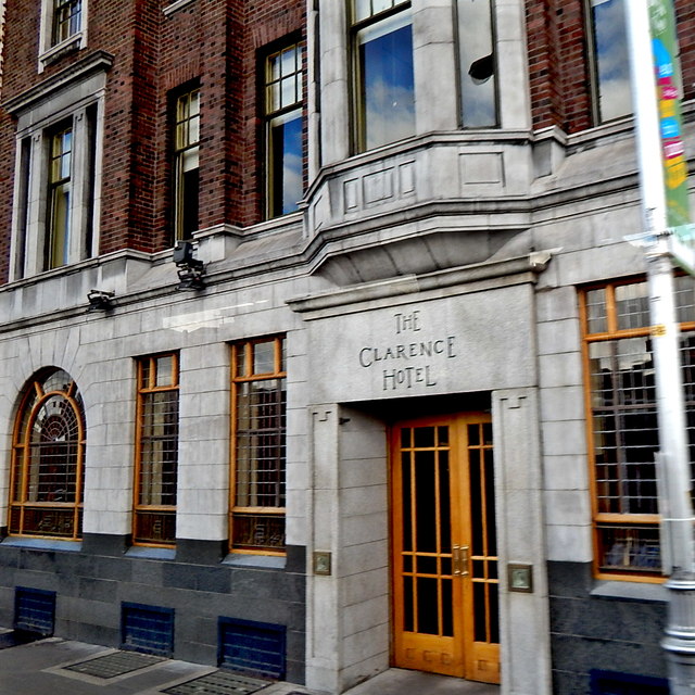 The Clarence Hotelhotel · 15 yd
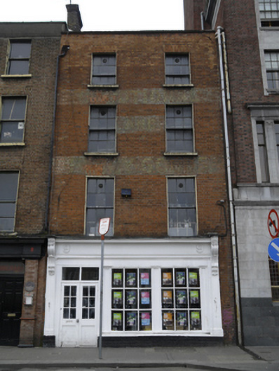 The Workman's Clubhouse · 24 yd
 Tourist Information CentreVisitor information · 151 yd
 Dublin City HallHeritage attraction · 168 yd
 Newcomen BankVisitor information · 173 yd
 CastleCastle, Anglo-Norman masonry castle · 260 yd
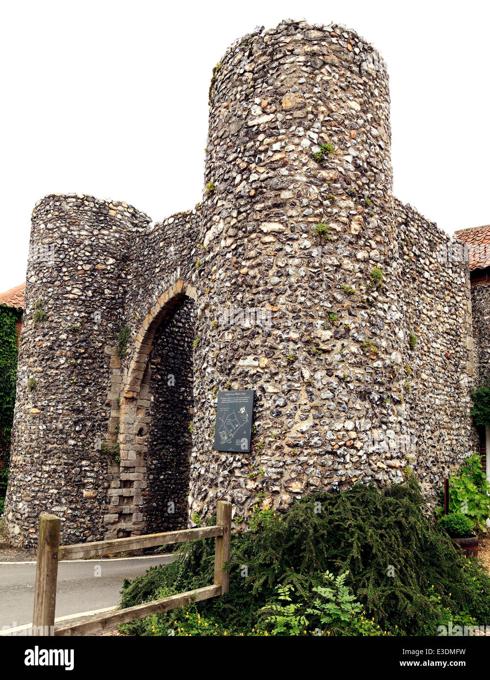 Town defences in Unknown TownlandTown defences · 270 yd
 Dublin Castlegates/railings/walls · 286 yd
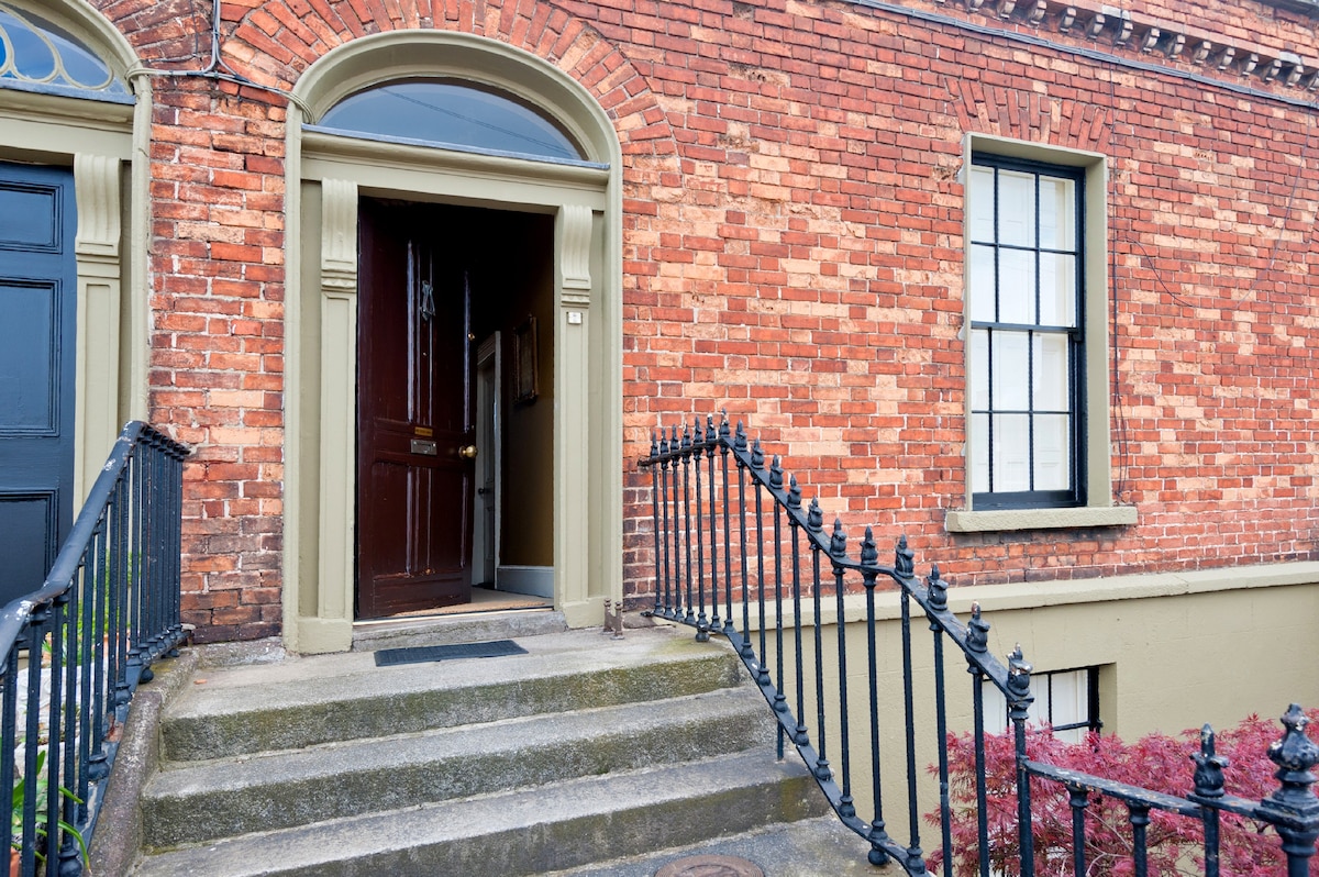 Habitation site in Unknown TownlandHabitation site · 294 yd
 John FieldMemorial · 357 yd
 Special Olympics MemorialMonument · 377 yd
 Bigleaf MapleBigleaf Maple · 738 yd
Other information
Photo: Credit not shown in the picture search · Rights wording not checked; contact us if this picture should be removed