What is recorded here
Located on a partially heather-covered rocky ridge, on a S-facing pasture slope, overlooking Roaringwater Bay. At least three cupmarks (diam. 0.05-0.06m; D 0.01-0.02m) are visible on the surface of the outcropping rock. A number of other depressions on the rock appear to be naturally formed.
The above description is derived from 'The Archaeological Inventory of County Cork. Volume 5' (Dublin: Stationery Office, 2009).
Date of upload: 22 December 2009
The monument record does not grant public access. Check the route and ask the landowner before entering private land.
- What survives
- Recorded monument
Places near here
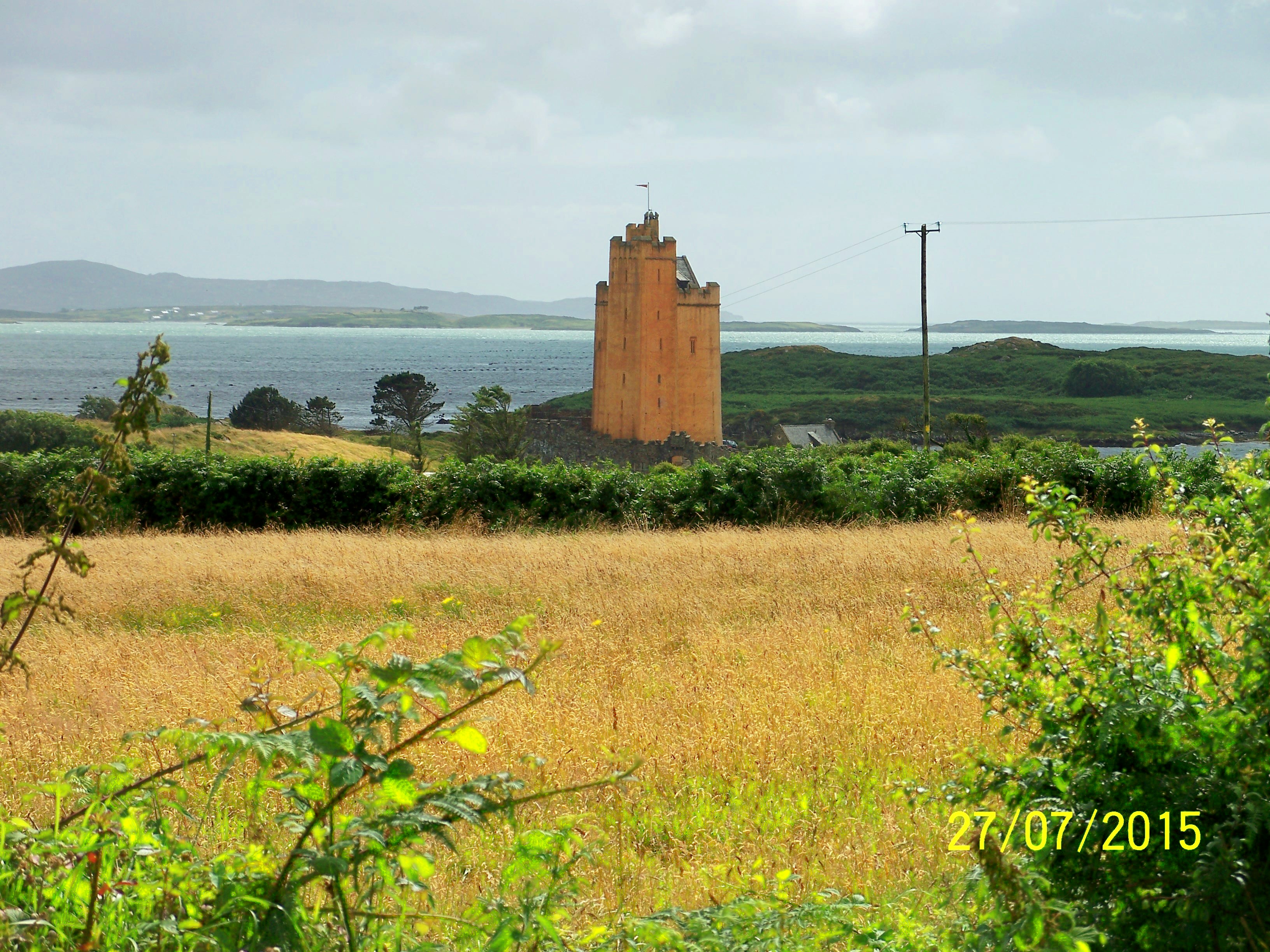 Kilcoe Church (in Ruins)Church · 468 yd
 Grave YardGraveyard · 476 yd
 Toberclashnaerinaght (Site of)Holy well · 716 yd
 Kilcoe CastleCastle · 924 yd
 Mannin BegIslet · 956 yd
 RC ChapelChurch · 1046 yd
 Mannin IslandIslet · 1394 yd
 Rincolisky CastleCastle · 1.9 mi
 Monterey CypressMonterey Cypress · 2.4 mi
 Ballydehob Railway StationVisitor information · 2.5 mi
 Ballydehob HarbourVisitor information · 2.5 mi
 Danno O’Mahony statueMemorial · 2.7 mi