What is recorded here
In a rough grazing area largely covered with ferns and briars, on an E-W ridge on the S side of Lough Hyne. At least six cupmarks (diam. 0.04-0.07m; D 0.01-0.04m) are visible on the upper surface of a roughly rectangular boulder (2m E-W; 1.4m N-S; H 1.2m).
The above description is derived from 'The Archaeological Inventory of County Cork. Volume 5' (Dublin: Stationery Office, 2009).
Date of upload: 22 December 2009
Likely dating to the Neolithic or Bronze Age, the cupmarked stone in Glannafeen may have had ritual or ceremonial significance, possibly linked to water or fertility, given its proximity to Lough Hyne. Such stones are often associated with wider prehistoric landscapes and symbolic practices.
The monument record does not grant public access. Check the route and ask the landowner before entering private land.
- What survives
- Recorded monument
Places near here
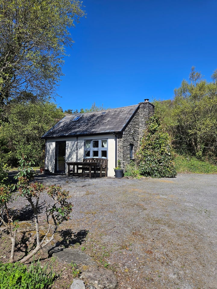 Hut site in GlannafeenHut site · 440 yd
 Bullock IslandIslet · 583 yd
 Templebreedy (in Ruins)Church · 652 yd
 Walk 5 - Lough Hyne (7km)Walking route · 959 yd
 ClochánCastle · 1082 yd
 Trá na BóBeach / strand · 1158 yd
 Church in Kedge IslandChurch · 1202 yd
 Wild Atlantic Way:Lough HyneVisitor information · 1604 yd
 TralispeanBeach / strand · 1614 yd
 Kill Burial Gd (Childrens)Burial ground · 1631 yd
 KnockomaghMountain / peak · 1.3 mi
 Castle (in Ruins)Castle, unclassified · 1.3 mi