What is recorded here
In rough hill pasture, with occasional outcropping rock, on cutaway bog, on a SW-facing slope and within a network of relict field boundaries (CO104-021003-). This cupmarked stone was described in August 1997 as a large flat-topped natural boulder which has a group of ten possible cupmarks near the centre of its upper surface. A subsequent search for this possible cupmarked stone in January 2005 failed to locate it at this location or in the surrounding area.
The above description is derived from 'The Archaeological Inventory of County Cork. Volume 5' (Dublin: Stationery Office, 2009).
Date of upload: 22 December 2009
The monument record does not grant public access. Check the route and ask the landowner before entering private land.
- What survives
- Recorded monument
Places near here
 Hut site in Crossterry WestHut site · 372 yd
 Field boundary in Coomarkane,derreenboy Upper,crossterry WestField boundary · 380 yd
 Old Stone CottagesHeritage attraction · 590 yd
 Glenlough MountainMountain / peak · 1.1 mi
 Derrynafulla SWMountain / peak · 1.1 mi
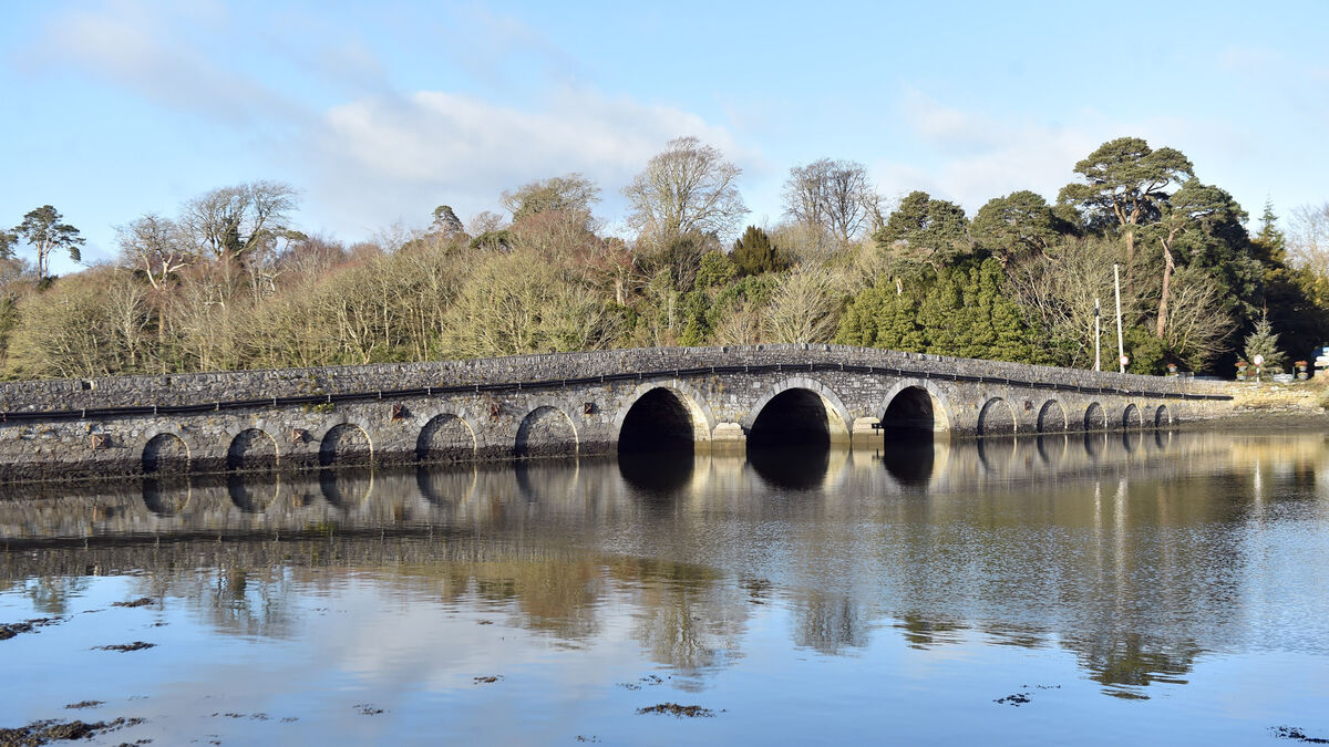 Bridge in Coorannel,derrynafullaBridge · 1.8 mi
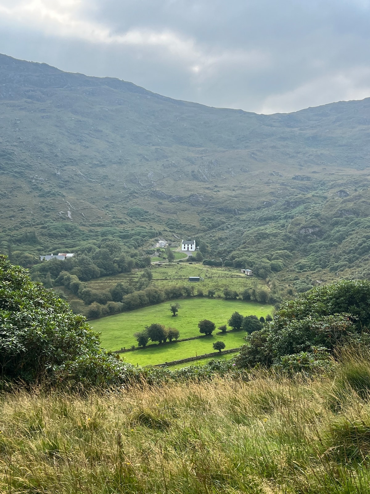 Ahnaclaha BrBridge · 2.5 mi
 Glengarriff WoodsWood · 2.5 mi
 Lady Bantry's LookoutViewpoint · 2.9 mi
 DroppaCliff · 3.0 mi
 Graveyard in CappyaughnaGraveyard · 3.4 mi
 IllaunageraghIslet · 3.5 mi