What is recorded here
There is no visible trace or local knowledge of the 'cupped stone' recorded here by the Kerry Archaeological Survey.
The above description is derived from J. Cuppage, ‘Corca Dhuibhne. Dingle Peninsula archaeological survey. Ballyferriter. Oidhreacht Chorca Dhuibhne’ (1986), no. 176. In certain instances the entries have been revised and updated in the light of recent research.
Date of upload: 4 August 2013
This remains an important historical record, but the official description says the monument is no longer visible or has been destroyed. The monument record does not grant public access. Check the route and ask the landowner before entering private land.
- What survives
- No visible remains or recorded as destroyed
Places near here
 Brackloon Lodgehotel · 486 yd
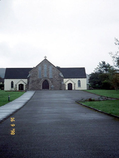 Catholic Church of the Sacred Heartchurch/chapel · 510 yd
 Man-made underground passage in BallintermonMan-made underground passage · 646 yd
 Man-made underground passage in Brackloon (corkaguiny By.)Man-made underground passage · 654 yd
 Statue of Our LadyHeritage attraction · 1016 yd
 Jerome ConnorMemorial · 1049 yd
 Bunaneer StrandBeach / strand · 1.3 mi
 Graveyard in BallynacourtyGraveyard · 1.4 mi
 BrickanyMountain / peak · 1.9 mi
 Acres PointHeadland · 3.0 mi
 Knockmulanane West TopMountain / peak · 3.1 mi
 Glanteenassig Forest ParkForest · 3.4 mi