What is recorded here
Situated in grassland, 125m E of the townland boundary with Carrigroe. Cup-marked stone (WI018-036----) located 800m to S. Large granite boulder the surface of which contains a faint shallow cup mark which now lies incorporated into a post-1800 field boundary running NW-SE.
Compiled by: Caimin O'Brien based on details kindly provided by Edmond O'Donovan who also supplied the two attached photographs
Date of upload: 24 October 2018
The monument record does not grant public access. Check the route and ask the landowner before entering private land.
- What survives
- Recorded monument
Places near here
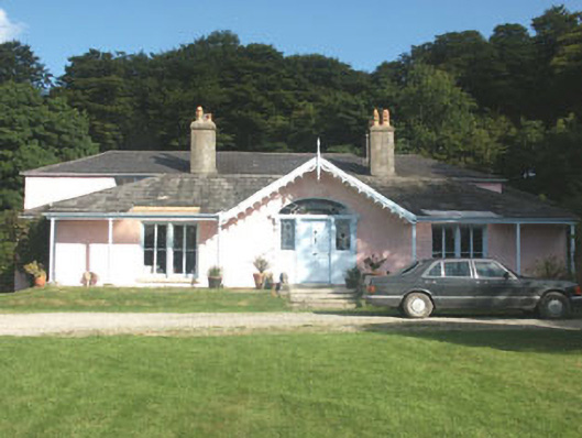 Lake Park Househouse · 645 yd
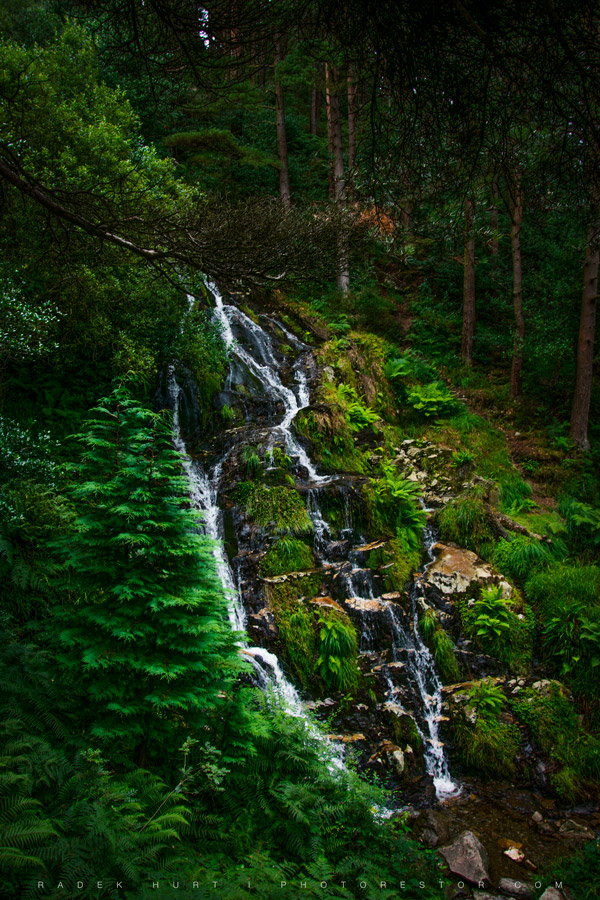 BallinafunshogeMountain / peak · 1429 yd
 Scotch VillageRuins · 1697 yd
 Font in Ashtown OR BallinafunshogeFont · 1.1 mi
 Coon BeachBeach / strand · 1.8 mi
 BallinacorbegMountain / peak · 2.0 mi
 Abandoned Miners' VillageArchaeological place · 2.0 mi
 Victor's WayHeritage attraction · 2.2 mi
 Native Woodland Trust: Paddock Hill ReserveWood · 2.7 mi
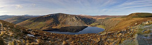 Lough TayMountain lake · 2.9 mi
 Castle Kevin (in Ruins)Castle, motte and bailey · 2.9 mi
 Ballinastoe WoodForest · 2.9 mi