What is recorded here
From OpenStreetMap (© OpenStreetMap contributors) w162351204
Places near here
Photo credits
- James Bell, Wikimedia Commons · CC BY-SA 2.0
- Maker not stated on source page, www.youtube.com
- Maker not stated on source page, www.petitfute.es
- Helen Bowick, Wikimedia Commons · CC BY-SA 2.0
- Billy McCrorie, Wikimedia Commons · CC BY-SA 2.0
- Andy Farrington, Wikimedia Commons · CC BY-SA 2.0
- Richard Sutcliffe, Wikimedia Commons · CC BY-SA 2.0
- Chris Newman, Wikimedia Commons · CC BY-SA 2.0
 Woodhead PlantationEnclosure (possible) · 350 yd
Explorer Tom Woodhead Plantation handles its nosey neighbours by growing a bit thicker and looking slightly more confused about…
 Cumstoun CastleTower House (medieval) · 398 yd
Explorer Tom Cumstoun Castle would complain to the council about its damp windows and the fact that nobody respects its medieval…
 Cumstoun House, High LodgeLodge · 840 yd
Explorer Tom Cumstoun House, High Lodge is keeping its secrets tighter than a clam after three pints. It’s got no date on it, which…
 Foresthill PlantationForest · 943 yd
 Carse FarmQuern · 968 yd
Explorer Tom Herries Slaughter is a 15th-century battle site that sounds like something you’d find in a very aggressive cooking…
 TonglandPolished Axehead (stone) · 968 yd
Explorer Tom Corse Loch is guarding a stone axehead that looks like it’s proud of being the sharpest object in the neighborhood.…
 Tongland BridgeBuilding · 1208 yd
Explorer Tom Tongland Bridge is just a building pretending to be a bridge, which is lazy even by Scottish standards. I bet the…
 EllenbankHouse (19th Century) · 1229 yd
Explorer Tom Ellenbank House in Kirkcudbright has been locked in a bitter feud with the rain since 1850. It’s just standing there…
 Unknown: Kirkcudbright, River DeeMotor Fishing Vessel (20th Century) (possible) · 1408 yd
 Gallows Hill PlantationForest · 1593 yd
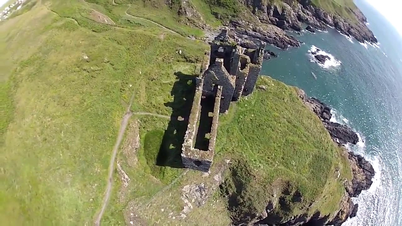 Castle HillFort · 1.1 mi
Explorer Tom This Castle Hill is locked in a bitter feud with the next village over something daft like who owned the best cows back…
 Galloway Wildlife Conservation ParkZoo or wildlife park · 1.2 mi
More woods, forests and old trees in Dumfries and Galloway · All of Dumfries and Galloway

What do you know about this place?Tap to add a comment or ask a question