
What is recorded here
Map note: There is a map point for Cummi Howe Broch, an ancient site near Clouston, Orkney Islands, Scotland. See what else is recorded around this spot before making up the rest.
From OpenStreetMap (© OpenStreetMap contributors) w1385594689
Places near here
Photo credits
- John Ireland, Wikimedia Commons · CC BY-SA 2.0
- Bill Boaden, Wikimedia Commons · CC BY-SA 2.0
- Anne Burgess, Wikimedia Commons · CC BY-SA 2.0
- Maker not stated on source page, www.sott.net
- Derek Mayes, Wikimedia Commons · CC BY-SA 2.0
- Richard Webb, Wikimedia Commons · CC BY-SA 2.0
- Maker not stated on source page, www.britainexpress.com
- Maker not stated on source page, www.pinterest.com
- Colin Smith, Wikimedia Commons · CC BY-SA 2.0
 Cummi NessBuilding(s) (medieval) · 295 yd
 The old site of VasmireRuins · 559 yd
 Loch of StennessRune Inscribed Stone (norse) · 725 yd
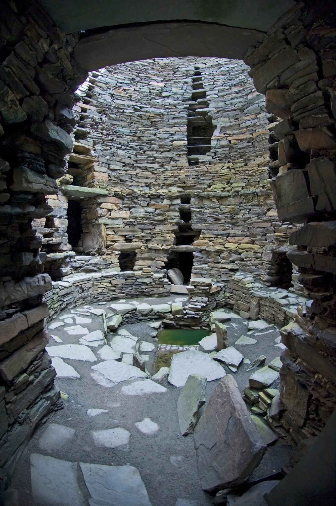 The Howe (Iron Age broch + Neolithic chambered cairn)Archaeological place · 934 yd
 Bridge of WaitheRoad Bridge (mid 19th Century) (1859) · 971 yd
 Howe FarmFarmhouse (post Medieval), Farmstead (post Medieval), Fence(s), Rig and Furrow (medieval) - (post Medieval), Settlement (neolithic) (possible), Telegraph Pole(s) (20th Century), Track(s) · 1001 yd
 Brig O' WaitheNo Class (event) (21st Century) · 1007 yd
 The beach below the HallBeach · 1125 yd
 Stromness, Howe RoadMilitary Camp (20th Century) · 1236 yd
 Exploring Unstan Chambered CairnVisitor information · 1377 yd
 Bu of Cairston CastleArchaeological place · 1449 yd
 Unstan CairnHeritage attraction · 1462 yd
Explorer Tom Unstan Cairn looks like a grassy Orkney mound until you duck through its narrow doorway and discover that somebody made…
More archaeology and monuments in Orkney Islands · All of Orkney Islands

What do you know about this place?Tap to add a comment or ask a question