What is recorded here
Places near here
Photo credits
- Maker not stated on source page, www.flickr.com
- Maker not stated on source page, ca.pinterest.com
- Maker not stated on source page, ph.pinterest.com
- Maker not stated on source page, en.wikipedia.org
- Maker not stated on source page, commons.wikimedia.org
- Maker not stated on source page, www.rte.ie
- Maker not stated on source page, www.pinterest.com
- Mick Garratt, Wikimedia Commons · CC BY-SA 2.0
- George McHugh, Geograph · CC BY-SA 2.0
- Copernicus Sentinel-2, ESA, Wikimedia Commons · CC BY-SA 3.0 igo
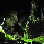 Natural cave in KinkeelNatural cave · 477 yd
Explorer Tom Natural cave in Kinkeel is where a fiddler played all night until the cows went crazy. He never came out, so we assume…
 Natural cave in CarravinallyNatural cave · 685 yd
Explorer Tom Natural cave in Carravinally is sick of people asking if there are bats inside. It’s not a zoo, it’s just a hole that…
 Natural caves (2) in KinkeelNatural caves (2) · 945 yd
Explorer Tom These two Natural caves in Kinkeel are suspicious of the postman and probably chewed up his letters for fun. Go with…
 Graveyard: kilvoruan in CarravindoonGraveyard: Kilvoruan · 1103 yd
Explorer Tom Graveyard: kilvoruan in Carravindoon hums 'Greensleeves' when the wind picks up, because it thinks that’s the only tune…
 A.p. sites: enclosures or hut sites? in CarravindoonA.p. Sites: Enclosures or Hut Sites? · 1163 yd
Explorer Tom A.p. sites: enclosures or hut sites? in Carravindoon has no idea what it is either. It’s like a teenager trying on…
 Round cairn in CraigmacaganRound Cairn · 1275 yd
Explorer Tom Round cairn in Craigmacagan has an escape plan that involves rolling away quickly when the landowner spots you. It’s…
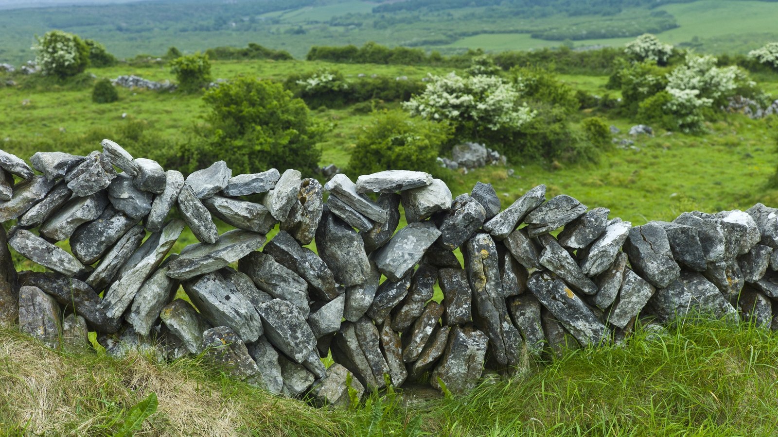 Stone features (2): possible kelp draining walls in CarravindoonStone features (2): possible kelp draining walls · 1438 yd
Explorer Tom Stone features in Carravindoon are two possible kelp draining walls that think they’re much more impressive than they…
 Castle or cashel & Man-made underground passages (site of): castle voodish in CarravindoonCastle or cashel & Man-made underground passages (site of): castle voodish · 1457 yd
Explorer Tom Castle voodish in Carravindoon has underground passages that sound like they lead straight to a pub, but probably just…
 Stone boat shelter in CarravindoonStone boat shelter · 1679 yd
Explorer Tom Stone boat shelter in Carravindoon is tired of people asking if it actually fits a rowing boat inside. It’s from the…
 Kelp Store1.0 mi
Explorer Tom Kelp Store on Rathlin Island is basically a giant closet that stores seaweed like it’s storing state secrets. It’s been…
 Ushet PointHeadland · 1.1 mi
Explorer Tom Ushet Point gave up meat for Lent but ended up eating fish, which it claims doesn't really count as cheating. It’s a…
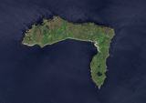 Rathlin IslandIsland · 1.2 mi
Explorer Tom Before you board for Rathlin, give the weather the last vote. Rathlin Island bends into a rough L off Antrim, as though…
More wrecks and historic events in County Antrim · All of County Antrim

What do you know about this place?Tap to add a comment or ask a question