What is recorded here
Cuckoo Hill was a fairy fort on a Galway glacial ridge when people still believed the land could breathe. The quarry took it, but the hill keeps its shape in memory and warns that progress often feeds on forgotten life.
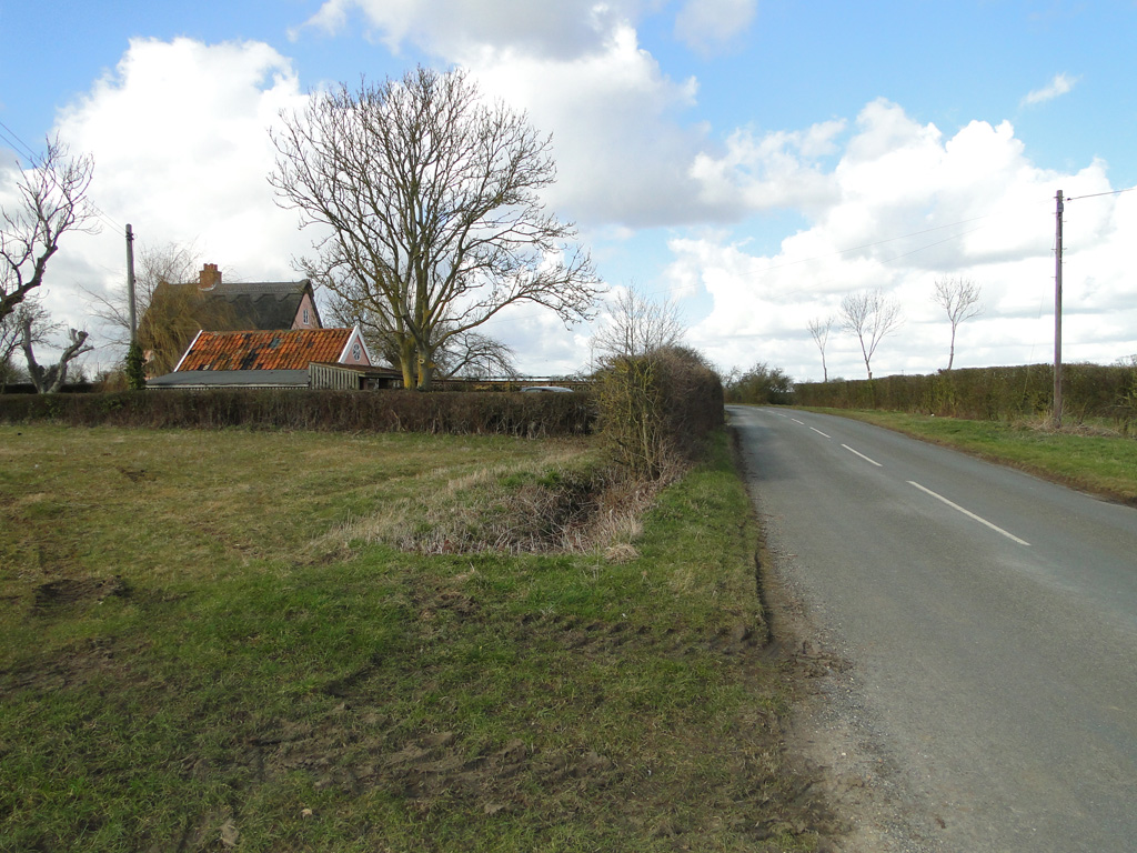
On a glacial ridge in undulating grassland. Marked on 3rd ed. of OS 6-inch map (1932) as an arc of hachures curving from N to SE. According to local tradition, this was the site of a 'fort'. A large quarry now occupies the site and no visible surface trace survives.
The above description is derived from the published 'Archaeological Inventory of County Galway Vol. II - North Galway'. Compiled by Olive Alcock, Kathy de hÓra and Paul Gosling (Dublin: Stationery Office, 1999).
Date of upload: 05 August 2010
The monument record does not grant public access. Check the route and ask the landowner before entering private land.
- What survives
- Recorded monument
Places near here
 Abbey in ruinsChurch · 1086 yd
 CrossCross, High cross (present location) · 1118 yd
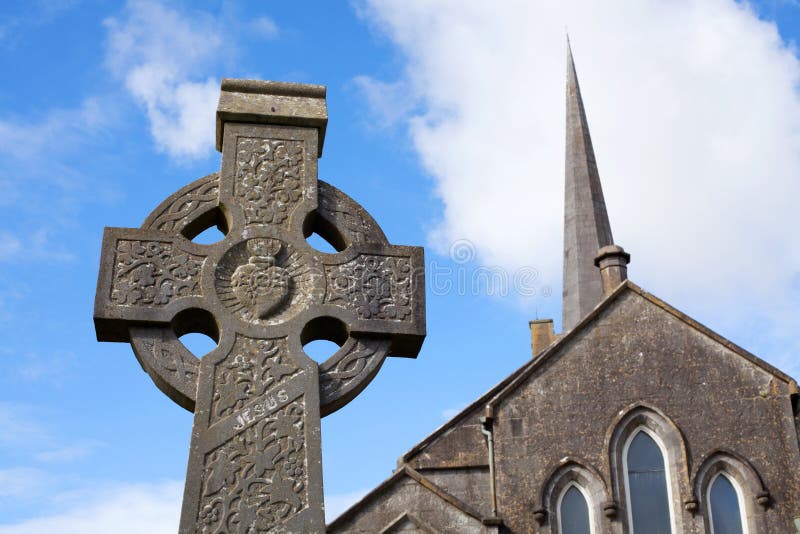 Stone CrossCross, High cross · 1140 yd
 Dunmore CastleCastle · 2.3 mi
 Church in ruinsChurch · 2.3 mi
 Site of Doonbally CastleCastle, unclassified · 2.8 mi
 Slieve DartMountain / peak · 5.3 mi
 European ashEuropean ash · 6.7 mi
 Mass RockNamed rock · 8.4 mi
 KnockmaaWood · 12 mi
 Cloonagh FortHilltop enclosure · 1.1 mi
 Sweating Kilns (in Ruins)Sweathouse · 1.2 mi
Other information
Photo: Credit not shown in the picture search · Rights wording not checked; contact us if this picture should be removed