
What is recorded here
Map note: Cruach Muasdail, a mountain or peak, is mapped near Muasdale, Argyll and Bute, Scotland. A hill can keep its own counsel; the surrounding map is ready to explore.
From OpenStreetMap (© OpenStreetMap contributors) n3636158206
Places near here
Photo credits
- Johnny Durnan, Wikimedia Commons · CC BY-SA 2.0
- Claire Pegrum, Wikimedia Commons · CC BY-SA 2.0
- Alpin Stewart, Wikimedia Commons · CC BY-SA 2.0
- Maker not stated on source page, www.alamy.com
- Rab McMurdo, Wikimedia Commons · CC BY-SA 2.0
- Maker not stated on source page, www.tripadvisor.com.au
- Anne Burgess, Wikimedia Commons · CC BY-SA 2.0
- Steve Partridge, Wikimedia Commons · CC BY-SA 2.0
- Maker not stated on source page, uk.pinterest.com
- derek lockhart, Wikimedia Commons · CC BY-SA 2.0
- Maker not stated on source page, www.dailymail.co.uk
 South MuasdaleCairn (possible) · 1524 yd
Explorer Tom South Muasdale in Argyll and Bute might be a cairn of unknown period. It's basically a pile of rocks that thinks it's…
 Dunan MuasdaleDun (later Prehistoric) · 1538 yd
 Muasdale, Kintyre, Starch MillMill · 1711 yd
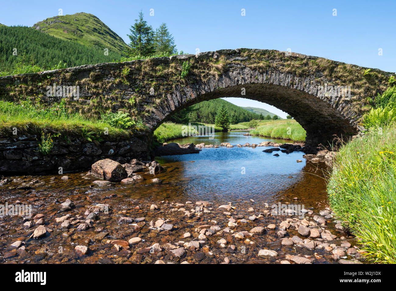 Muasdale, Old BridgeRoad Bridge (late 18th Century) - (early 19th Century) · 1752 yd
 Glenbarr War MemorialMemorial · 1.6 mi
 Glenbarr Abbey - Clan Macalister Museum & Tea RoomCastle · 2.0 mi
 Killegruer Burial GroundCemetery · 3.1 mi
 Bellochantuy BayBay · 4.4 mi
 Sgeir BuideilIslet · 4.7 mi
 Corr EileanIslet · 4.9 mi
 John: Gigalum Island, Sound of GighaSloop (19th Century) · 5.1 mi
 Grob BaghBay · 5.7 mi
More mountains and hills in Argyll and Bute · All of Argyll and Bute

What do you know about this place?Tap to add a comment or ask a question