What is recorded here
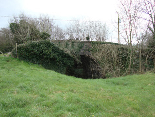
Single-arch cut-stone humpback canal bridge, constructed c.1840, on disused canal. Constructed with irregular block-cut limestone walls having granite block copings, with granite string course over arch. Elliptical arch with ashlar voussoirs and soffit. Square-plan corner pier with pointed capstone to south-west corner of bridge. Sited spanning former Ulster Canal with towpath platform running underneath arch to north and remains of grass towpath to east and west. Milestone and two masonry locks to west of bridge.
Crowey Bridge is a fine stone structure spanning the Ulster Canal, a disused waterway running through Armagh, Monaghan, Tyrone and Fermanagh from Lough Neagh to Lough Erne. It is still used for local access. The bridge exhibits good-quality stone masonry and fine, crisp joints, and is of historical and social significance as a reminder of the development of Ireland's canal network. The canal, built between 1825 and 1842, was 74km (46 miles) long, but its 26 locks were built narrower than the other Irish waterways, preventing through-trade, and had an inadequate water supply, falling into rapid decline from the mid-nineteenth century, and abandoned in 1931. This bridge relates directly to a milestone, the 13th and 14th canal locks, towpath, and a mooring bollard to the west.
This does not grant access. Most recorded buildings are privately owned; view them only from public ground unless the owner allows entry.
Places near here
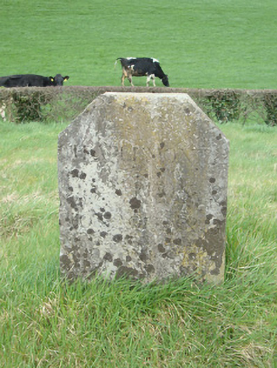 milestone/milepostmilestone/milepost · 71 yd
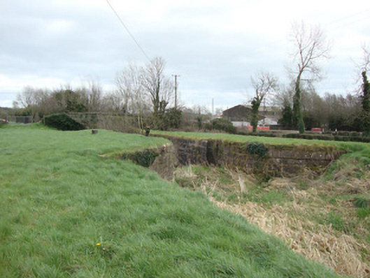 14th Lock and 13th Lockcanal (section of) · 114 yd
 CarnCairn, unclassified · 882 yd
 Liscarney WoodWood · 941 yd
 LiscarnFairy fort / earthen ringfort · 1029 yd
 The Nut WoodForest · 1067 yd
 Monaghan County MuseumMuseum · 2.2 mi
 Rossmore MonumentMemorial · 2.4 mi
 Bawn in Roosky (monaghan By., Monaghan Par.)Bawn · 2.4 mi
 Castleshane WaterfallWaterfall · 3.1 mi
 Banba GiantHeritage attraction · 4.0 mi
 Battle of ClontibretBattlefield · 5.3 mi
Other information
Photo: National Inventory of Architectural Heritage · Website use allowed for educational or private purposes with source credit