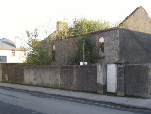
What is recorded here
Detached three-bay double-height Methodist meeting house, built 1857; extant 1871, on a symmetrical plan with three-bay full-height rear (east) elevation. Sold, 1874. Disused, 1896. Now in ruins. Pitched roof now missing, overgrown coping to gables with rendered chimney stacks to apexes having stringcourses below capping, and no rainwater goods surviving on red brick header bond eaves. Coursed rubble limestone wall to front (east) elevation originally roughcast with concealed hammered limestone flush quoins to corners; roughcast surface finish (remainder). Square-headed central door opening with overgrown threshold, and concealed dressings with no fittings surviving. Round-headed window openings with lichen-covered drag edged cut-limestone sills, and red brick block-and-start surrounds with no fittings surviving. Interior in ruins. Set back from line of street in overgrown grounds with rendered boundary wall to perimeter having rounded coping.
The shell of a short-lived meeting house representing an integral component of the mid nineteenth-century ecclesiastical heritage of Crossmolina with the architectural value of the composition, one succeeding an earlier meeting house established (1835) with the financial assistance of a bequest from Catherine McCormick (née Dobbs) (d. 1836) of Ballina (Return of Commissions of Charitable Donations and Bequests 1844, 193), suggested by such attributes as the compact rectilinear plan form; and the slender profile of the openings underpinning a streamlined Classical theme.
This does not grant access. Most recorded buildings are privately owned; view them only from public ground unless the owner allows entry.
Places near here
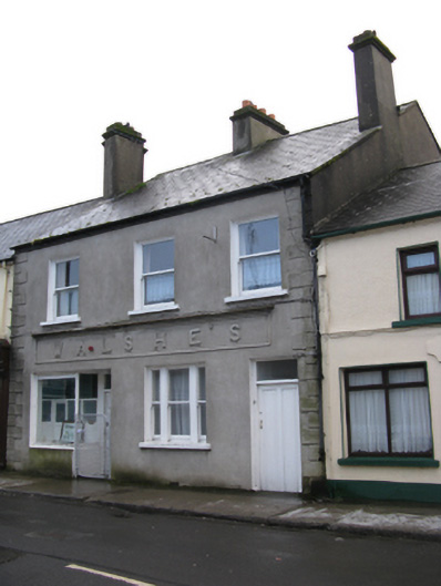 Walshe'shouse · 74 yd
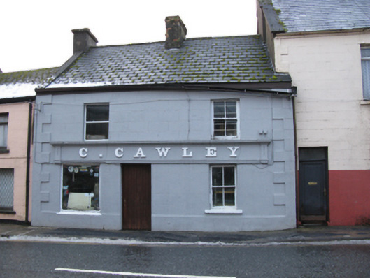 C. Cawleyhouse · 113 yd
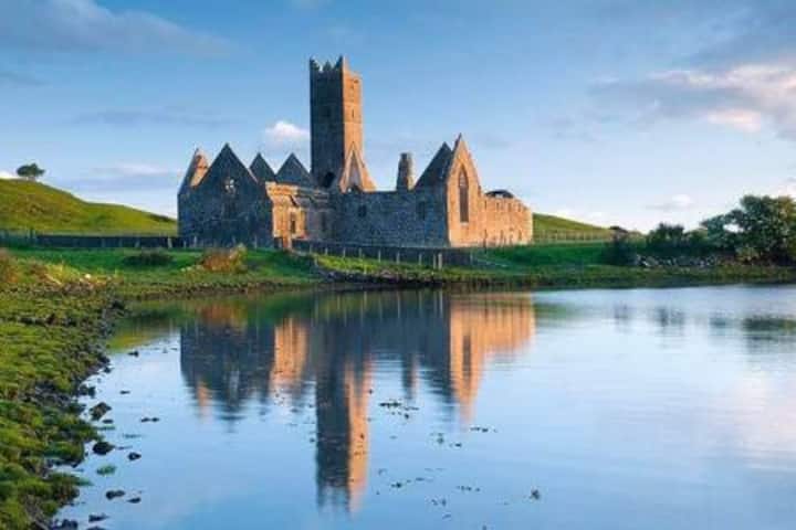 Castle in RuinsCastle, tower house · 136 yd
 Enaghmore Castle (in Ruins)Castle, unclassified · 1.3 mi
 Enclosure in BallycarroonEnclosure · 1.4 mi
 TobarnasgornaigheHoly well · 1.5 mi
 Grave of the KingsArchaeological place · 2.3 mi
 Castle IslandIslet · 2.5 mi
 Roe IslandIslet · 2.7 mi
 Titanic Memorial ParkMemorial · 4.8 mi
 KnockaffertaghMountain / peak · 9.7 mi
 BirreencorraghMountain / peak · 10 mi
Other information
Photo: National Inventory of Architectural Heritage · Website use allowed for educational or private purposes with source credit