
What is recorded here
Situated on an E-facing slope overlooking a col between Patrickstown Hill to the W and a lower hill c. 300m to the E, and c. 20m S of the road from Kells to Oldcastle. The rectangular base of a cross is within a rectangular surround. The stem of a cross with a rectangular cross-section (dims 0.3m x 0.21m; total H 1.13m) is in three portions. The inscription is illegible now but the letters TM….SSON….WROHT might be made out. It is thought to commemorate a Margaret Plunkett and to have been moved from Ballinvally burial ground (ME009-061----) by the antiquary E. Crofton Rotheram (O’Reilly 1958, 51), but since the stone is described in italic lettering as a ‘Stone’ on the E side of the road on the 1836 edition of the OS 6-inch map, it is more likely that it was just moved across the road.
The above description is derived from the published 'Archaeological Inventory of County Meath' (Dublin: Stationery Office, 1987). In certain instances the entries have been revised and updated in the light of recent research.
Compiled by: Michael Moore
Date of revision: 1 November 2018
The monument record does not grant public access. Check the route and ask the landowner before entering private land.
- What survives
- Recorded monument
Places near here
 Oliver Plunkett memorialMemorial · 44 yd
 IndicatedEnclosure · 60 yd
 Earthen TumulusCastle, motte · 779 yd
 Indicated SheepfoldFairy fort / stone ringfort · 1232 yd
 Slieve Na CalliaghMountain / peak · 1.1 mi
 Loughcrew Megalithic TombsHeritage attraction · 1.1 mi
 Drumlerry WetlandForest · 1.2 mi
 LoughcrewMegalithic tomb cemetery · 1.8 mi
 Largan WoodWood · 1.9 mi
 Carnbane WestMountain / peak · 2.0 mi
 C11Named rock · 2.0 mi
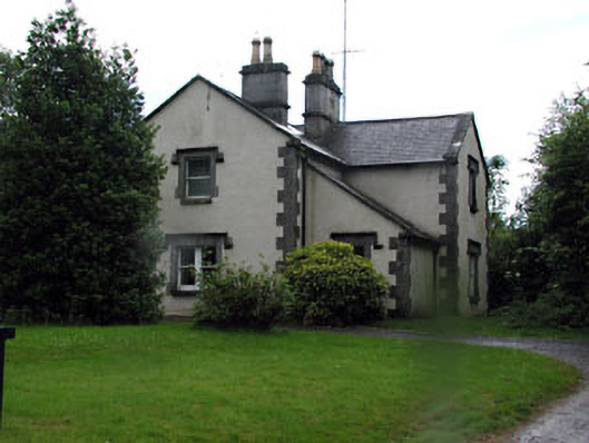 Loughcrew Housegate lodge · 2.1 mi
Other information
Photo: Credit not shown in the picture search · Rights wording not checked; contact us if this picture should be removed