What is recorded here
On low-lying ground c. 20m from the N side of a SE-NW stream. St Rónán's Well (RO051-072001-) has a limestone crucifixion plaque (dims 1.13m x 0.9m), probably 18th century in date, set into the inner face of the wall of its enclosure at NW. Apart from a large crucified figure it has a ladder, the cock in the pot, the hammer and a flail. (Crawford 1919a, 115)
See the attached image.
From the National Monuments Service (Archaeological Survey of Ireland) record RO051-072002
Places near here
Photo credits
- National Inventory of Architectural Heritage
- Mike Searle, Wikimedia Commons · CC BY-SA 2.0
- Willow, Wikimedia Commons · CC BY 2.5
- Jan Wyk, Wikimedia Commons · Public domain
- Christian Pirkl, Wikimedia Commons · CC BY-SA 3.0 at
- Willthacheerleader18, Wikimedia Commons · CC0
- JohnArmagh, Wikimedia Commons · Public domain
- AmandaMcCrann, Wikimedia Commons · CC BY-SA 4.0
 St. Ronans WellHoly well · 3 ydSheep HillMountain / peak · 2.2 mi
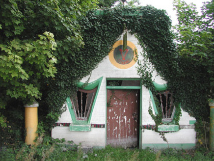 Millar's Harp HouseShop/retail outlet · 3.5 mi
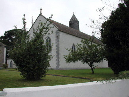 Saint Mary's Catholic ChurchChurch/chapel · 3.9 miClooncoran IslandIsland · 3.9 mi
_-_geograph.org.uk_-_4070639.jpg/250px-Castles_of_Connacht,_Killure,_Galway_(1)_-_geograph.org.uk_-_4070639.jpg "Photo: Mike Searle, Wikimedia Commons · CC BY-SA 2.0") Killure Castle (in ruins)Castle, tower house · 6.6 mi
Killure Castle (in ruins)Castle, tower house · 6.6 mi European ash7.6 mi
.jpg/250px-Battle_of_Aughrim_by_Jan_Wyk_(cropped).jpg "Photo: Jan Wyk, Wikimedia Commons · Public domain") Battle of AughrimMajor battlefield · 9.2 mi
Battle of AughrimMajor battlefield · 9.2 mi Sycamore9.8 mi
 Clonbrock CastleCastle, tower house · 10.0 mi
 Clonfert CathedralHeritage attraction · 11 mi
 Kellys MonumentMonumental structure · 11 mi
More archaeology and monuments in County Roscommon · All of County Roscommon
What do you know about this place?Tap to add a comment or ask a question