What is recorded here
Inchbofin Island, Lough Ree: the missing slab reappeared in Athenry, not lost but displaced. Cross and circle still mark the stone; the D-shaped arms and faint O preserve the hand that cut them. Rain and time have rubbed the edges, yet the shape resists forgetting.
This irregularly shaped and much-weathered cross-slab (H 0.9m; max. Wth 0.67m; base Wth 0.26m; T 0.09m) bears a faint three-line cross with D-shaped terminals and a central circle. Very faint traces of an inscription are visible on the dexter side. Only the letter O is clearly visible on in the upper quarter. It was found during ground-clearance works in the vicinity of the church (WM015-001----) on Inchbofin island on Lough Ree, Co. Westmeath (Commissioners of Public Works 1913; Appendix E, Slab B) and is currently kept in the OPW depot in Athenry. See WM015-001011- for its original location. (Crawford 1913, 329, 1. (e))
Compiled by: Olive Alcock
Date of upload: 2 March 2023
Commissioners of Public Works in Ireland 1913 Eighty-first annual report of the Commissioners of Public Works in Ireland with appendices for the year ending 31st March 1913. London. HMSO.
Likely dating to the early medieval period (c. 7th–10th century), this cross-slab may have served a Christian commemorative or liturgical function. The D-shaped cross and central circle are typical of Insular Christian symbolism, though specific meaning or folklore associated with the stone is not recorded.
The monument record does not grant public access. Check the route and ask the landowner before entering private land.
- What survives
- Recorded monument
Places near here
 Cross (present location) in Raheen (athenry By.)Cross (present location) · 1 yd
 EnclosureEnclosure, large enclosure · 118 yd
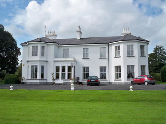 Raheen Househouse · 253 yd
 RoadRoad, road/trackway · 369 yd
 Horse-chestnutHorse-chestnut · 1107 yd
 Castle or King Johns Court (in ruins)Castle, Anglo-Norman masonry castle · 1405 yd
 Athenry CastleHeritage attraction · 1411 yd
 Athenry AbbeyHeritage attraction · 1447 ydFirst Battle of Athenrybattle · 1529 yd
 Castle (in Ruins)Castle, unclassified · 1.1 mi
 Moyard WoodWood · 3.5 mi
 Leadmine HillMountain / peak · 9.7 mi