What is recorded here
Inchbofin island, Lough Ree: a small cross-slab, thirty-six centimetres wide and seven centimetres thick, with a single-line cross whose ends swell like dropped stitches. It surfaced during ground-clearance near the island church in 1913 and now sits in the OPW depot at Athenry, pulled from that wet place into dry keeping. The cross may have marked a grave, a shrine or a boundary; the stone no longer answers which. What remains is the shape of devotion, sharpened enough to cut through centuries.
This irregularly shaped slab (H 0.3m; Wth 0.36m; T 0.07m) bears an incised single-line cross with slightly enlarged terminals. It was found during ground-clearance works in the vicinity of the church (WM015-001----) on Inchbofin island on Lough Ree, Co. Westmeath (Commissioners of Public Works 1913, Appendix E, Slab F) and is currently kept in the OPW depot in Athenry. See WM015-001012- for its original location. (Crawford 1913, 329, 1. (f))
Compiled by: Olive Alcock
Date of upload: 2 March 2023
Commissioners of Public Works in Ireland 1913 Eighty-first annual report of the Commissioners of Public Works in Ireland with appendices for the year ending 31st March 1913. London. HMSO.
This cross-slab is likely of early medieval Christian origin, dating to between the 8th and 12th centuries. Such crosses were often associated with ecclesiastical sites and may have served as markers, ritual objects, or memorials.
The monument record does not grant public access. Check the route and ask the landowner before entering private land.
- What survives
- Recorded monument
Places near here
 Cross (present location) in Raheen (athenry By.)Cross (present location) · 1 yd
 EnclosureEnclosure, large enclosure · 118 yd
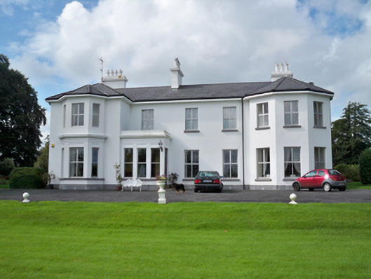 Raheen Househouse · 253 yd
 RoadRoad, road/trackway · 369 yd
 Horse-chestnutHorse-chestnut · 1107 yd
 Castle or King Johns Court (in ruins)Castle, Anglo-Norman masonry castle · 1405 yd
 Athenry CastleHeritage attraction · 1411 yd
 Athenry AbbeyHeritage attraction · 1447 ydFirst Battle of Athenrybattle · 1529 yd
 Castle (in Ruins)Castle, unclassified · 1.1 mi
 Moyard WoodWood · 3.5 mi
 Leadmine HillMountain / peak · 9.7 mi