What is recorded here
Mentioned in the Ulster Annals, the Annals of the Four Masters, and the Annals of Tigernach, the cross stands as a witness to events recorded across several medieval Irish chronicles. Those annalists wrote beside or beneath this very stone, marking the wood and water where fate turned for kings and monks alike.
This cross-slab was recorded by Bigger (1900, 80-81) as being located close to 'The Woman's Church' (LF021-048007-) on Inchcleraun island, Co. Longford (see LF021-048009- for original location). It is now in the care of the OPW (Athenry depot, Co. Galway). Bigger (ibid.) described it as 'a stone bearing incised on its surface a Celtic interlaced cross with remains of an Irish inscription. It is a rough, irregular slab of sandstone grit about 6 inches [0.15m] thick and about 26 inches [0.66m] by 21 inches [0.53m] in size'. This irregularly shaped slab (H 0.69m; 0.55m x 0.15m) is decorated with a triple-lined incised double, Latin cross with central incised circle containing a geometric pattern and expanded D-shaped terminals which also contain geometric patterns. Running parallel along both sides of the cross are the remains of a two line Irish inscription. Crawford (1913, 326) recorded one of these, which was in half uncial script and is now very worn and no longer decipherable, as reading 'OR [OIT] DO LAITHB[ER]TACH'. This translates as 'A Prayer For Laithb[er]tach'. The second inscription reads 'B, ?, A, C, H', the second letter being too worn to decipher. (English 1971, 148; Ciuchini 2010, Stone B, 91, 102, fig. 5)
Compiled by: Caimin O'Brien
Date of upload: 12 June 2012
This cross-slab likely dates to the early medieval period (6th–11th centuries) and may have originally served as a Christian memorial or ecclesiastical marker, associated with the nearby "Woman's Church." Its relocation to its present site has obscured some of its original context, but such cross-slabs often carried religious or commemorative inscriptions.
The monument record does not grant public access. Check the route and ask the landowner before entering private land.
- What survives
- Recorded monument
Places near here
 Cross (present location) in Raheen (athenry By.)Cross (present location) · 1 yd
 EnclosureEnclosure, large enclosure · 118 yd
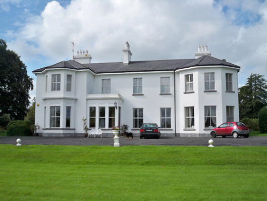 Raheen Househouse · 253 yd
 RoadRoad, road/trackway · 369 yd
 Horse-chestnutHorse-chestnut · 1107 yd
 Castle or King Johns Court (in ruins)Castle, Anglo-Norman masonry castle · 1405 yd
 Athenry CastleHeritage attraction · 1411 yd
 Athenry AbbeyHeritage attraction · 1447 ydFirst Battle of Athenrybattle · 1529 yd
 Castle (in Ruins)Castle, unclassified · 1.1 mi
 Moyard WoodWood · 3.5 mi
 Leadmine HillMountain / peak · 9.7 mi