
What is recorded here
From the National Monuments Service (Archaeological Survey of Ireland) record KE064-010001
Places near here
Photo credits
- Colin Park, Geograph · CC BY-SA 2.0
- Ian S, Wikimedia Commons · CC BY-SA 2.0
- N Chadwick, Geograph · Creative Commons Attribution-ShareAlike 2.0
- National Inventory of Architectural Heritage
- PAUL FARMER, Geograph · Creative Commons Attribution-ShareAlike 2.0
- Maker not stated on source page, commons.wikimedia.org
- Maker not stated on source page, www.dreamstime.com
- Neville Goodman, Wikimedia Commons · CC BY-SA 2.0
- Paul Carroll, from his book Gaelic Fields / The Irish Times, www.irishtimes.com
- Maker not stated on source page, www.cntraveller.com
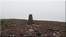 SeefinMountain / peak · 1.8 mi
Explorer Tom The time a fox took charge of Seefin is still talked about in whispers, mostly because the fox looked very important…
 Kerry Bog VillageHeritage attraction · 1.8 mi
Explorer Tom Kerry Bog Village on the Ring of Kerry lets you walk into a made-up nineteenth-century village built to explain very…
 Caragh BridgeBridge · 1.9 mi
Explorer Tom Caragh Bridge in Ballintleave is six arches deep, built around 1810. Legend says a bishop refused to cross it, which…
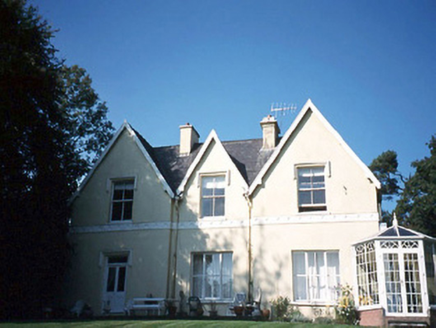 Glendalough HouseHouse · 2.0 mi
Explorer Tom Glendalough House has a ghost named Larry who is too lazy to haunt anyone properly. He just sits in the corner of the…
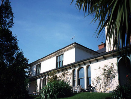 Caragh LodgeHouse · 2.0 mi
Explorer Tom Caragh Lodge has a curse that only hits people who don't wave when they pass its entrance porch. The Victorian lean-to…
 Blackstones BridgeBridge · 2.3 mi
Explorer Tom Blackstones Bridge would tell its younger self to stop worrying about the V-cutwaters and just flow. Four arches of…
 Killeen Graveyard (Disused)Children's burial ground · 2.6 mi
Explorer Tom Killeen Graveyard has a secret it’ll only tell after three pints of stout. It’s been disused for ages, so it’s…
 Ballinakilla CemeteryCemetery · 4.3 mi
Explorer Tom Ballinakilla Cemetery in County Kerry was saved by a hero nobody remembers who once stopped a rogue cow from trampling…
 BeenreaghMountain / peak · 4.5 mi
Explorer Tom Beenreagh in County Kerry is sitting there looking smug, probably writing 'Likes long walks and no answers' on its…
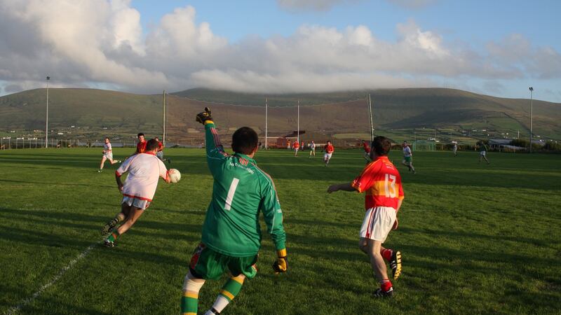 Valentia Young Islanders GAA pitchGAA ground · 22 mi
 Fairy fort / earthen ringfort in Ráth CiaráinFairy fort / earthen ringfort · 24 mi
Explorer Tom Ráth Ciaráin has been stuck in a terrible argument with a modern field wall about who gets to close the circle…
 Trá Bá FhionáinBeach / strand · 24 mi
Explorer Tom Trá Bá Fhionáin keeps getting picked on by the wind because it stands too tall in County Kerry. The breeze thinks it…
More archaeology and monuments in County Kerry · All of County Kerry

What do you know about this place?Tap to add a comment or ask a question