What is recorded here
In a Man-made underground passage (MA022-017005-). This early medieval cross-slab was discovered in August 2015 during a photographic survey of the Man-made underground passage. The cross-slab (Wth 0.18-0.19m; T 0.1m) has been reused as a roof lintel, spanning an E–W drystone passage (Wth 0.55m; H 0.78m), with the ends of the stone concealed in the N and S side walls of the passage. The carving, of a stylized cross in false relief, is visible on the underside of the narrow lintel. The cross shaft (L 0.18m; Wth 0.004m at base, 0.0025-0.003m at top), outlined by a groove, pierces a circle (L 0.16m; Wth 0.14m), also outlined by a groove. The shaft extends roughly to the centre of the circle. Four linear grooves radiate from the top of the shaft, dividing the internal space of the circle into five equal-sized, triangular portions, which enclose the shaft like petals on a flower. A small, roughly circular depression or dimple is cut into the centre of each of the five triangular segments, and there are two similar dimples on the shaft, one at the top and one at the base. Two parallel grooves, set three centimetres apart, are just visible rising from the top of the circle, suggesting a continuation of the carving on that part of the slab now concealed within the N wall of the passage. The surface of the triangular segment on the upper west (or R-hand side if facing the carving) of the circle is damaged; perhaps the reason why the builders of the Man-made underground passage felt free to reuse the cross-slab in the construction of the passage. The total length of the cross is 0.24m (excluding the two vertical grooves at the top of the circle).
The attached images are uploaded courtesy of John Sunderland, photographer, and Mayo County Council:
MA022-017009-_01.JPG (photograph: J. Sunderland)
MA022-017009-_02.JPG (photograph: J. Sunderland)
MA022-017009-_03.JPG (photograph: J. Sunderland)
MA022-017009-_04.JPG (photograph: J. Sunderland)
Compiled by: Jane O'Shaughnessy
Date of upload: 19 August 2015
This early medieval cross-slab, likely dating to the 8th to 10th century, may have served a Christian funerary or commemorative function. Its presence in an underground passage suggests possible ritual or symbolic use, though specific folklore or wider significance is not recorded.
The monument record does not grant public access. Check the route and ask the landowner before entering private land.
- What survives
- Recorded monument
Places near here
 Cathedral in Townplots WestCathedral · 31 yd
 Saint Patrick's Cathedral (Killala)cathedral · 31 yd
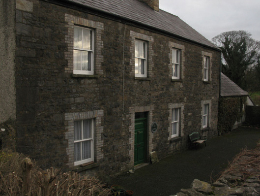 The Closehouse · 31 yd
 CastleCastle, unclassified · 68 yd
 Round tower in Townplots WestRound tower · 129 yd
 Battle of Killalabattle · 152 yd
 Green IslandIslet · 725 yd
 Bawn in Meelick (tirawley By.)Bawn · 1238 yd
 Rinnaun PointHeadland · 1738 yd
 Battlefields of MoyneBattlefield · 1.3 mi
 Moyne AbbeyHeritage attraction · 1.9 mi
 Bartragh IslandIsland · 2.1 mi