What is recorded here
Clear water cut both faces before human hands touched the stone. The monastery stood where the graveyard still holds its dead, and the cross marks the boundary between the living and the remembered. The rectangle beneath the first cross may have measured a grave, a door, or the width of a man stretched out in dirt. Kerry keeps its angles sharp because the dead are still arranged inside them.
Cross-slab described in 1996 as follows; 'This slab, of rectangular elevation, stands close to the SW side of the Monks' Graveyard [KE104A001046-] and is cross-inscribed on both faces. On the NE face is an encircled outline cross, beneath which is a horizontally disposed, elongated, outline rectangle. The field of vertical grooves on this face of the slab are natural (information: G. Rourke). On the opposite face is a linear Latin cross. H: 0.74m. W: 0.34m. T: 0.08m' (O'Sullivan and Sheehan 1996, 289, no. 948 (42)).
The above description is derived from A. O'Sullivan and J. Sheehan (compilers), 'The Iveragh peninsula: an archaeological survey of South Kerry'. Cork University Press (1996), no. 948. In certain instances the entries have been revised and updated in the light of recent research.
Revised by: Caimin O'Brien
Date of revised upload: 9 March 2022
The monument record does not grant public access. Check the route and ask the landowner before entering private land.
- What survives
- Recorded monument
Places near here
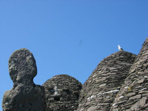 Church (in Ruins)Church · 16 yd
 Skellig MonasteryHeritage attraction · 33 yd
 North PeakMountain / peak · 63 yd
 Cross in Sceilg MhichílCross · 92 yd
 Sceilig MhichílIslet · 175 yd
 Enclosure in Sceilg MhichílEnclosure · 214 yd
 Church in Sceilg MhichílChurch · 263 yd
 Sceilg MhíchílMountain / peak · 287 yd
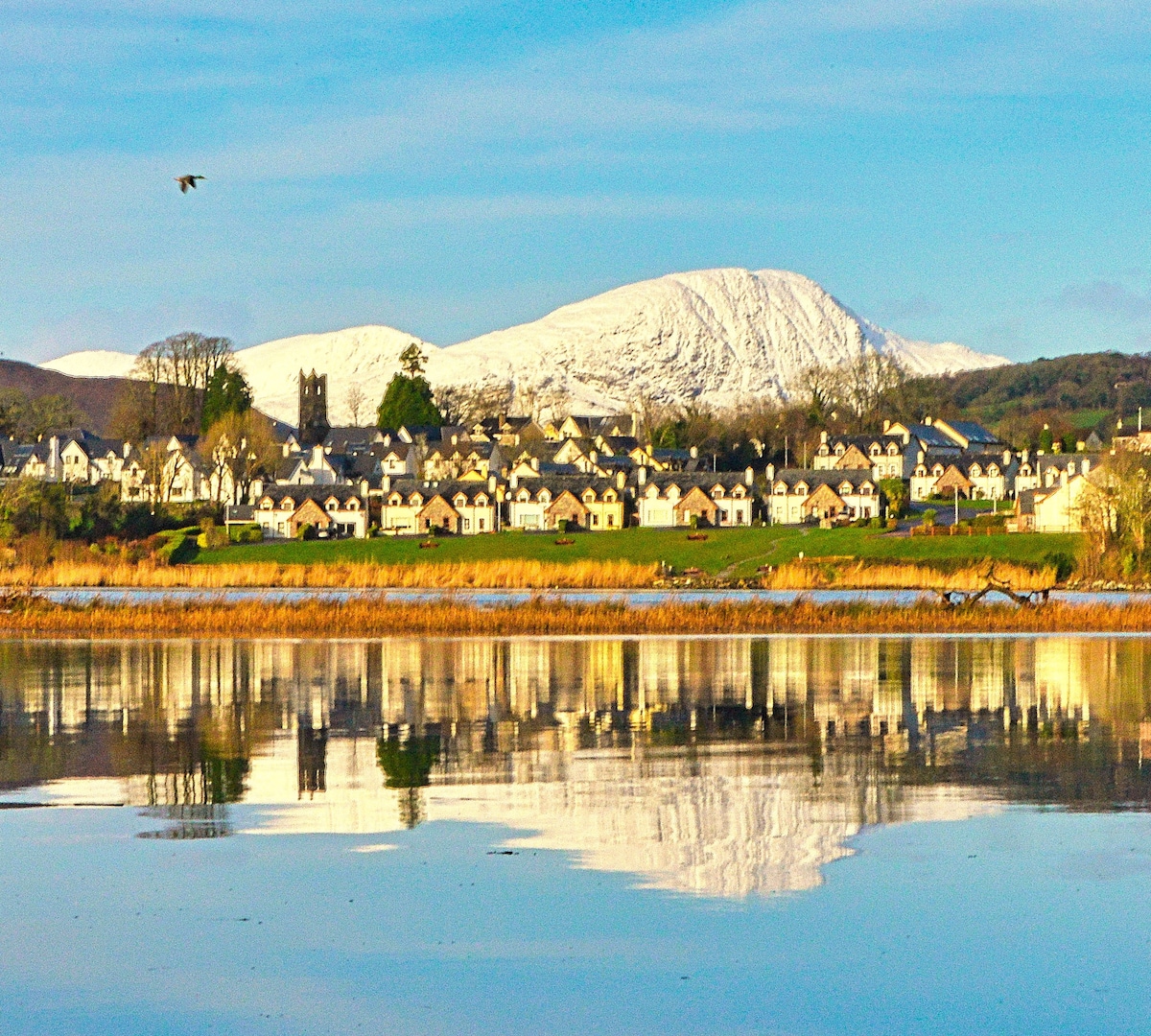 Pointe na bhFaoileannHeadland · 355 yd
 Sceilig BheagIslet · 1.5 mi
 LéimeHeadland · 6.8 mi
 Tráigh na SplinceBeach / strand · 8.5 mi