What is recorded here
The following description is derived from both the published 'Archaeological Inventory of County Louth' (Dublin: Stationery Office, 1986) and the 'Archaeological Survey of County Louth' (Dublin: Stationery Office, 1991). In certain instances the entries have been revised and updated in the light of recent research.
Date of upload/revision: 17 July 2007
A simple cross and circle on a stone (c. 0.76m by c. 0.83m) according to MacIvor (CLAJ 1950, 126), who has it located in the NW corner of field number 62 on his map (p. 119). In 1966 the stone could not be found. (CLAJ 1950, 126).
A local standing stone or piece of rock art; wider significance not recorded.
The monument record does not grant public access. Check the route and ask the landowner before entering private land.
- What survives
- Recorded monument
Places near here
 Garretts FortFairy fort / earthen ringfort · 304 yd
 Garrets FortArchaeological place · 311 yd
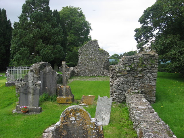 Kildemock Church (in ruins)Church · 754 yd
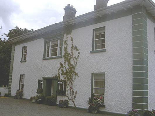 Roestown Househouse · 783 yd
 Not idicatatedCastle, unclassified · 1.3 mi
 Graveyard in StickillinGraveyard · 1.4 mi
 Dawsons MoatCastle, motte and bailey · 1.5 mi
 European White ElmEuropean White Elm · 1.9 mi
 Sir Frederick Foster MemorialMemorial · 2.0 mi
 Lebanon CedarLebanon Cedar · 2.5 mi
 Mount OrielMountain / peak · 3.2 mi
 Black HillMountain / peak · 4.1 mi