What is recorded here
Cross-slab in Gowlanes stands below Windy Gap on Eagles Hill, marking the final station of the Kilcrohane pilgrimage where seekers drank water believed to cure eye conditions. The slab bears an incised cross with smaller crosses in each angle, waiting beside a low cairn of quartz and stone. Pilgrims climbed in late summer, exhausted and hopeful, trusting that the water would sharpen what fatigue had blurred.
KE098-086----, locally known as Tobar Na Bearnan, is located just below Windy Gap close to the summit of Eagles Hill.
It was the final station of the Kilcrohane turas or pilgrimage (KE106-032003-), which was formerly held in late July/early August, and its water was reputed to cure eye conditions (Ó Suilleabháin 1945, 24).
The well is located on the SE side of a low cairn of slabs and quartz, and beside it is a slab (KE098-086002-), .4m x .2m, which features an incised cross with a smaller cross in each of its angles.
The above description is derived from A. O'Sullivan and J. Sheehan (compilers), 'The Iveragh peninsula: an archaeological survey of South Kerry'. Cork University Press (1996), no. 1073. In certain instances the entries have been revised and updated in the light of recent research.
Date of upload: 31 July 2013
This cross-slab likely dates to the early medieval period and may have been associated with a Christian pilgrimage route. It could have served as a waymarker or devotional site along the Kilcrohane turas.
The monument record does not grant public access. Check the route and ask the landowner before entering private land.
- What survives
- Recorded monument
Places near here
 IndicatedHoly well · 5 yd
 Eagles HillMountain / peak · 421 yd
 Cnoc na StéigeMountain / peak · 795 yd
 Copper Mines (Disused)Mine, copper · 1.3 mi
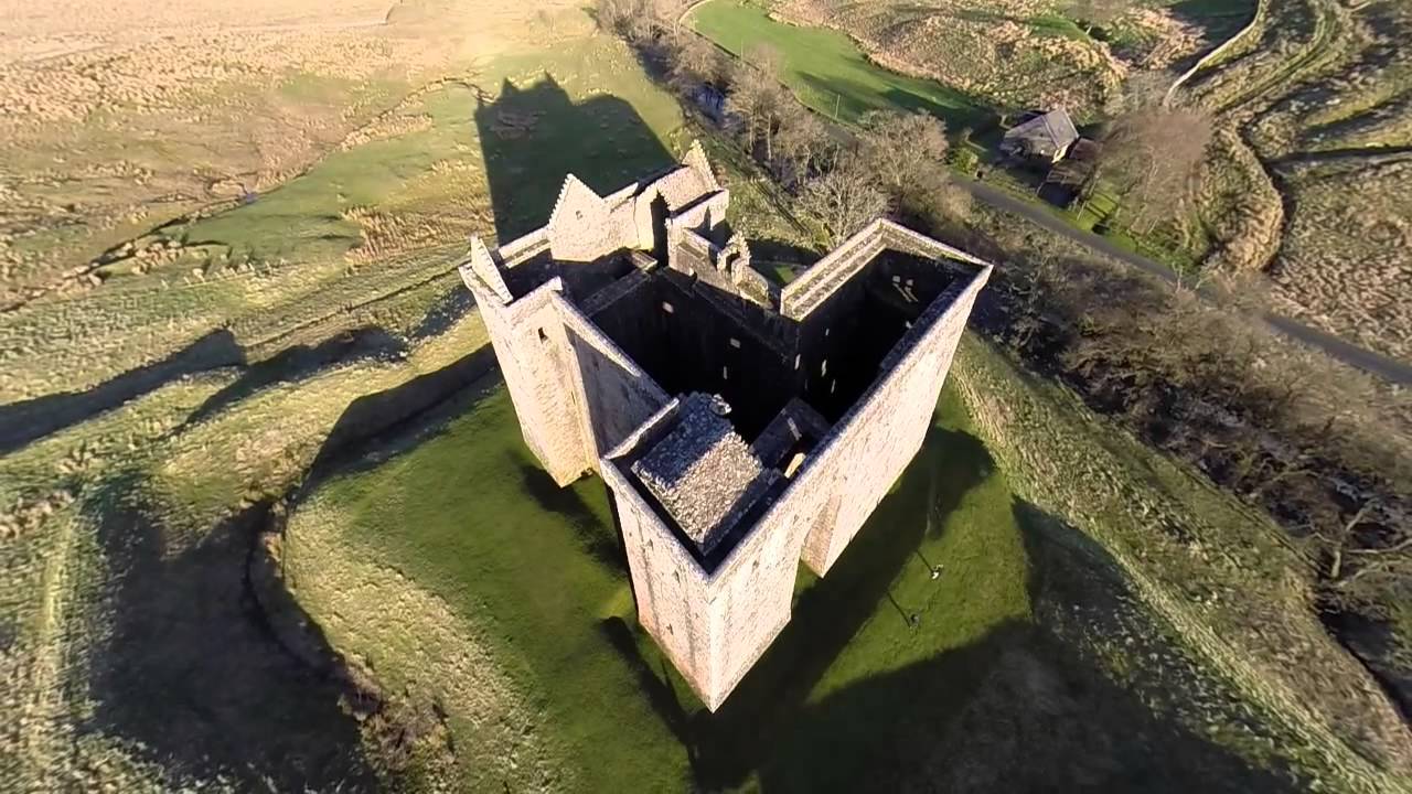 St. Crohanes HermitageHermitage · 1.3 mi
 Cowlagh (in Ruins)Church · 1.3 mi
 2Cliff · 1.6 mi
 Castle Cove (in Ruins)Castle, tower house · 1.9 mi
 An PlaoscHeadland · 2.4 mi
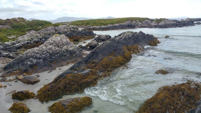 White StrandBeach / strand · 2.4 mi
 Reen BeachBeach / strand · 2.8 mi
 IllaundraneIslet · 3.0 mi